We may earn money or products from the companies mentioned in this post. As an Amazon Associate, I earn from qualifying purchases.
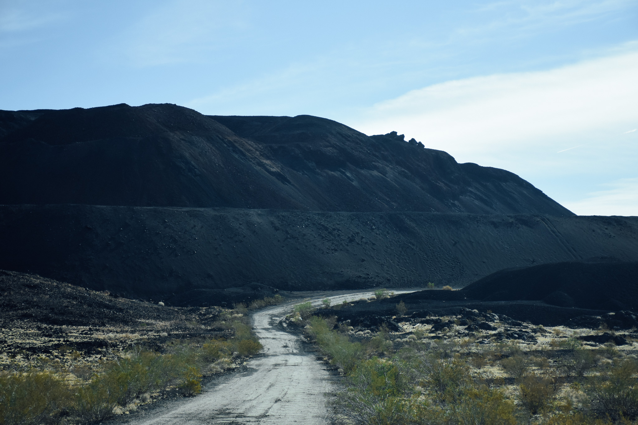
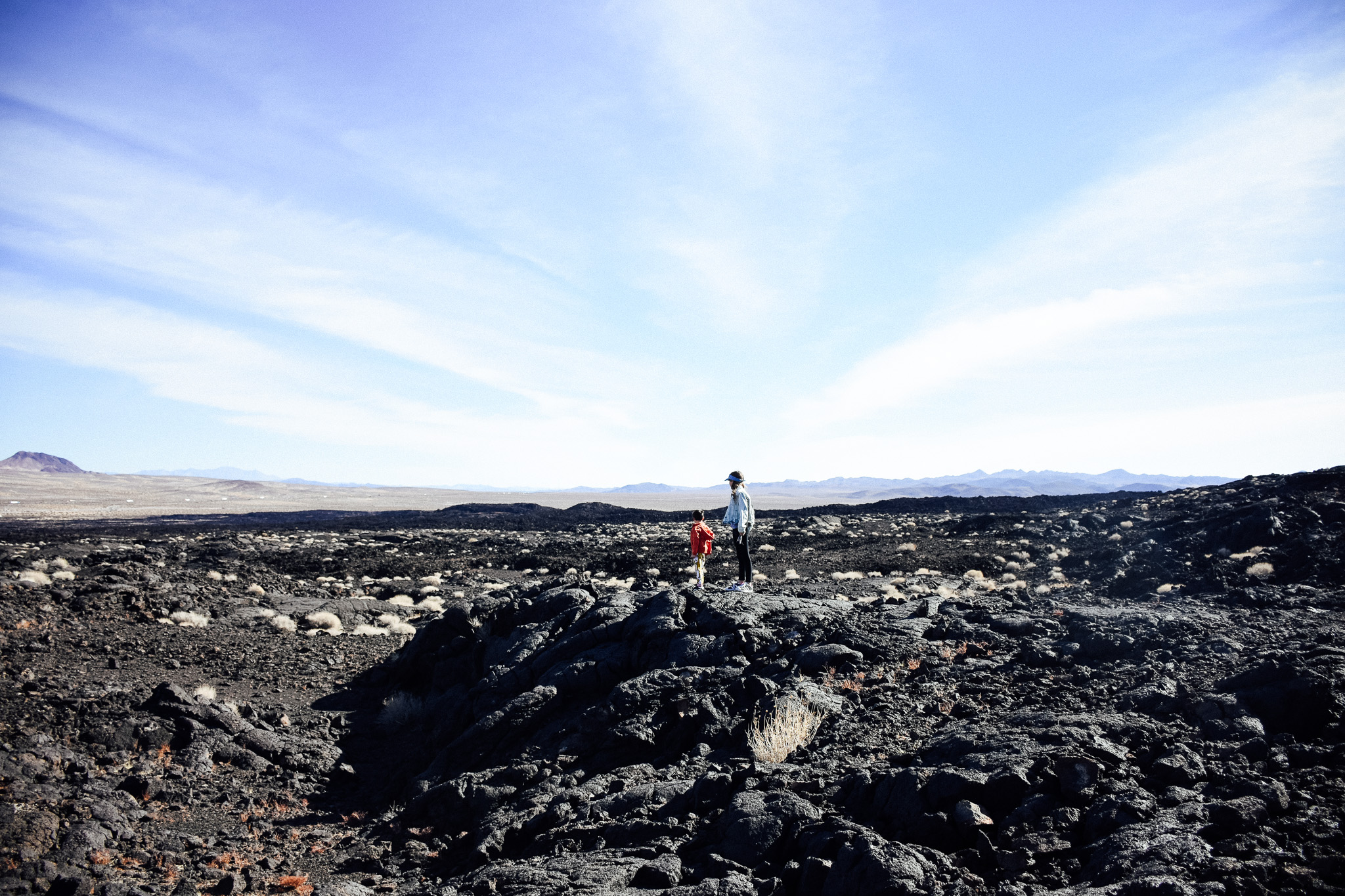
So, last Sunday Matt took the lead and brought us somewhere amazing! Located on Highway 40 (about 30 minutes SE of Barstow, CA) is Pisgah Crater and the Pisgah Lava Tubes. (location here)
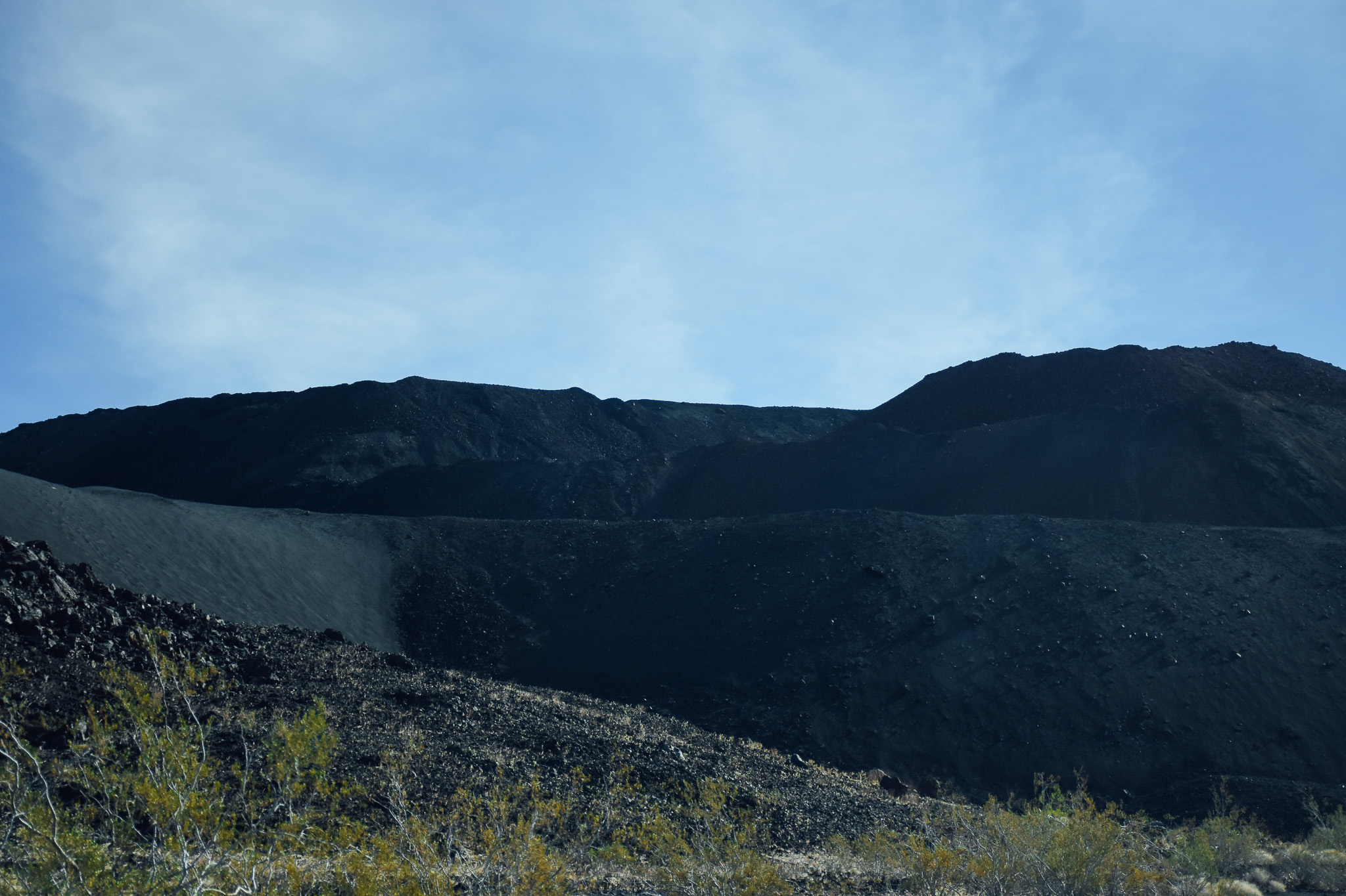
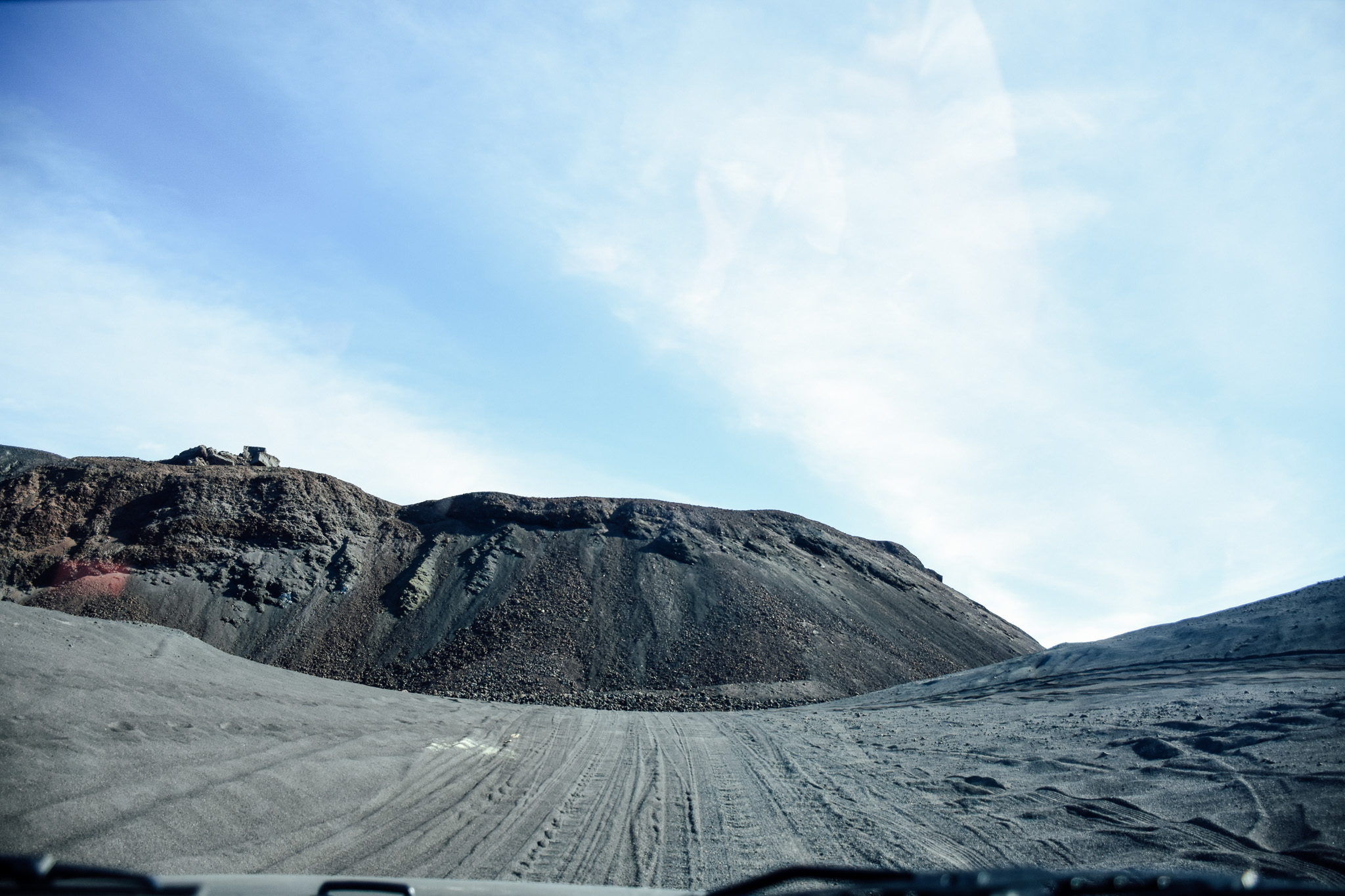
Pisgah Crater, or Pisgah Volcano, is a young volcanic cinder cone rising above a lava plain in the Mojave Desert, between Barstow and Needles, California in San Bernardino County, California.
The Wikipedia page has loads of information for those who are interested in learning more about the actual history and science and it’s pretty fascinating!
According to that page, there is no reliable date of when Pisgah Crater last erupted. Some believe that Pisgah Volcano is the youngest vent, of four cinder cones, in the Lavic Lake volcanic field. There may have been activity at this site as recent as 2,000 years ago; however others believe the last eruption occurred as early as 20,000 to 50,000 years ago. Lava flows extend 11 mi to the west and 5 to southeast of the cone.
Our Visit
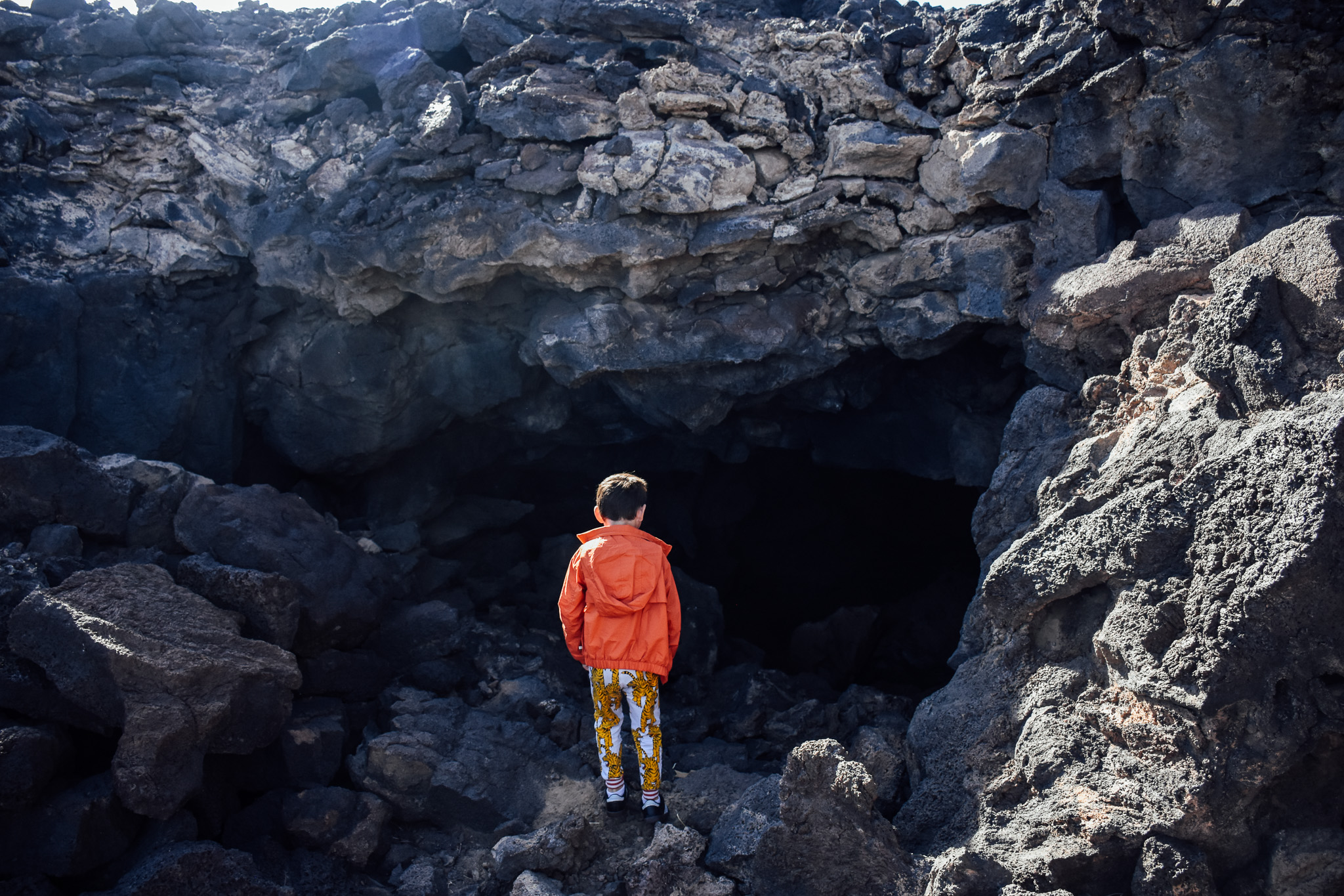
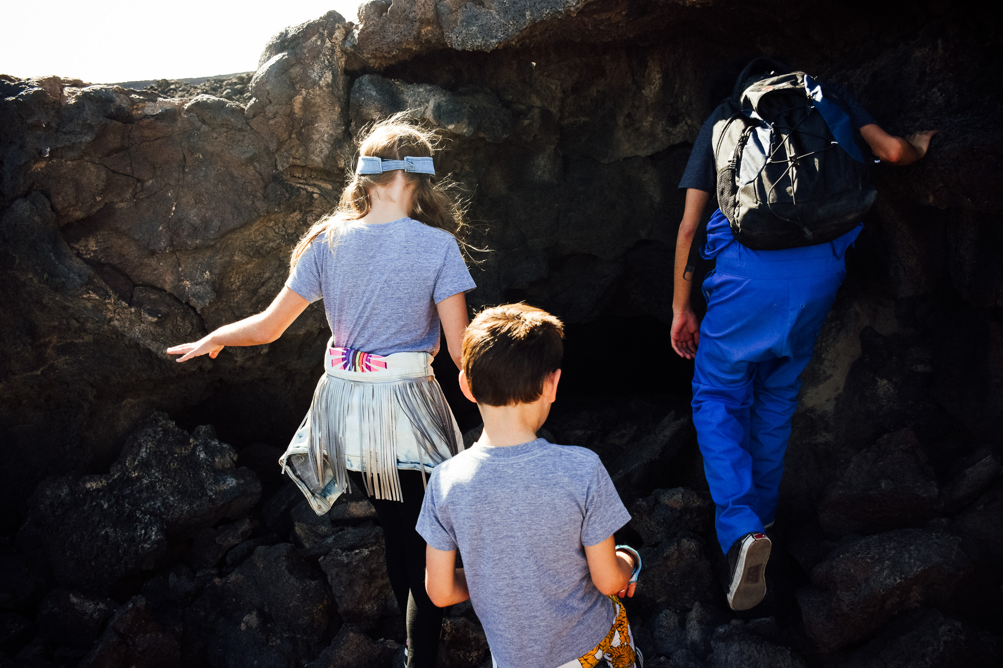
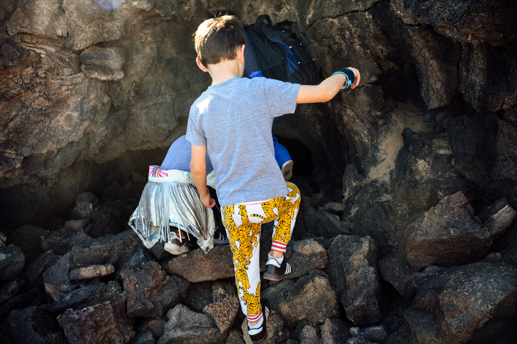
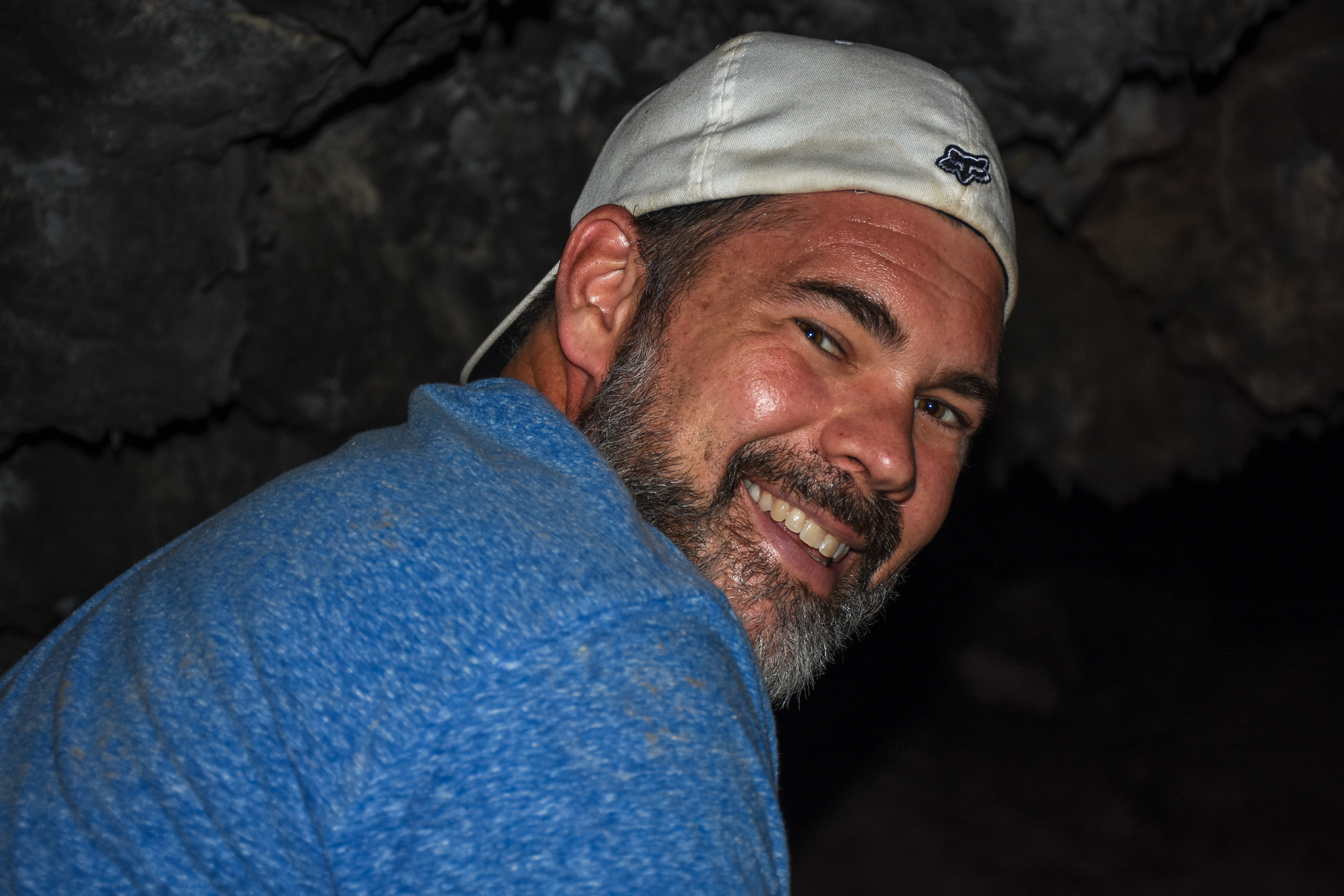
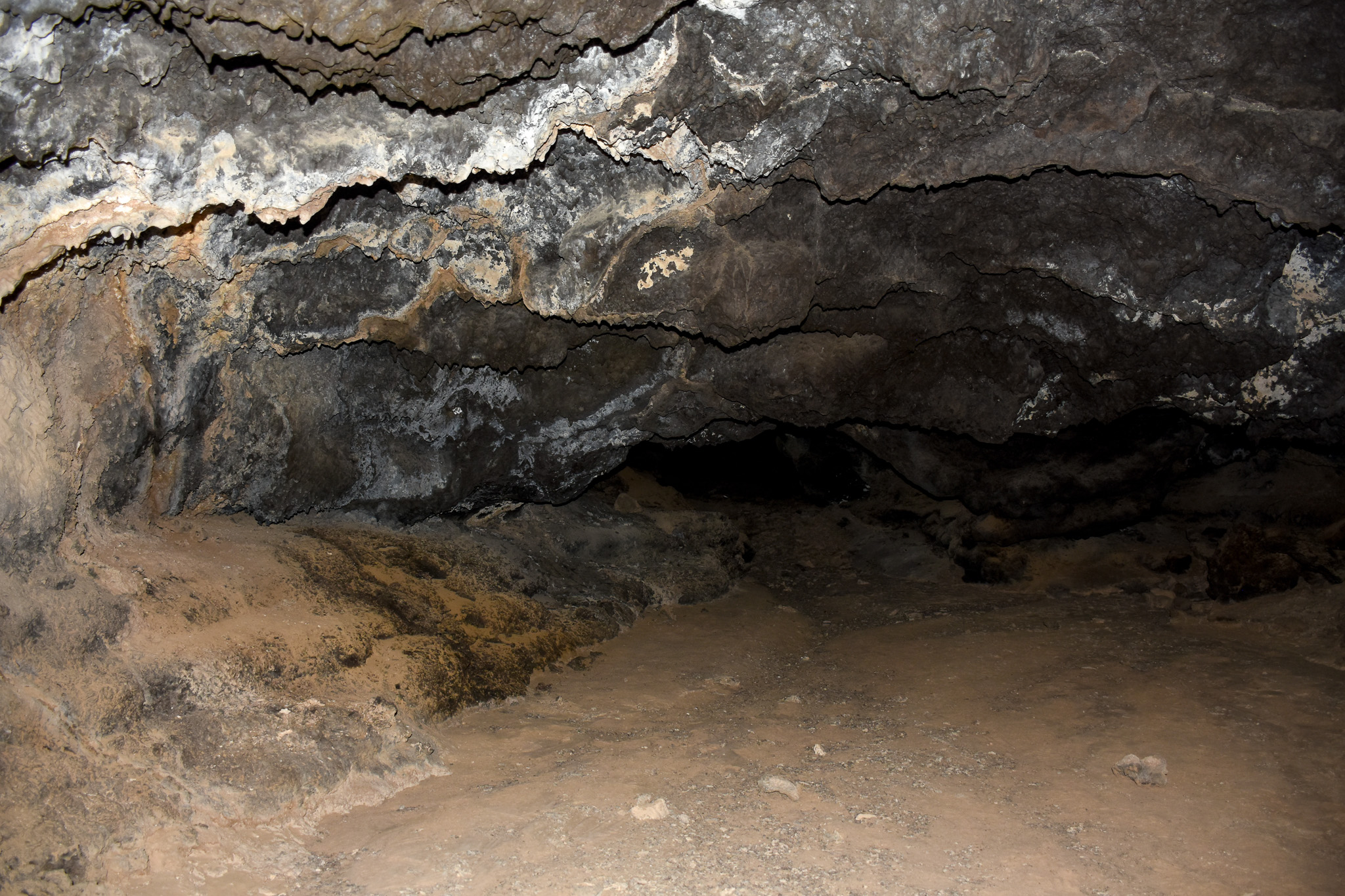
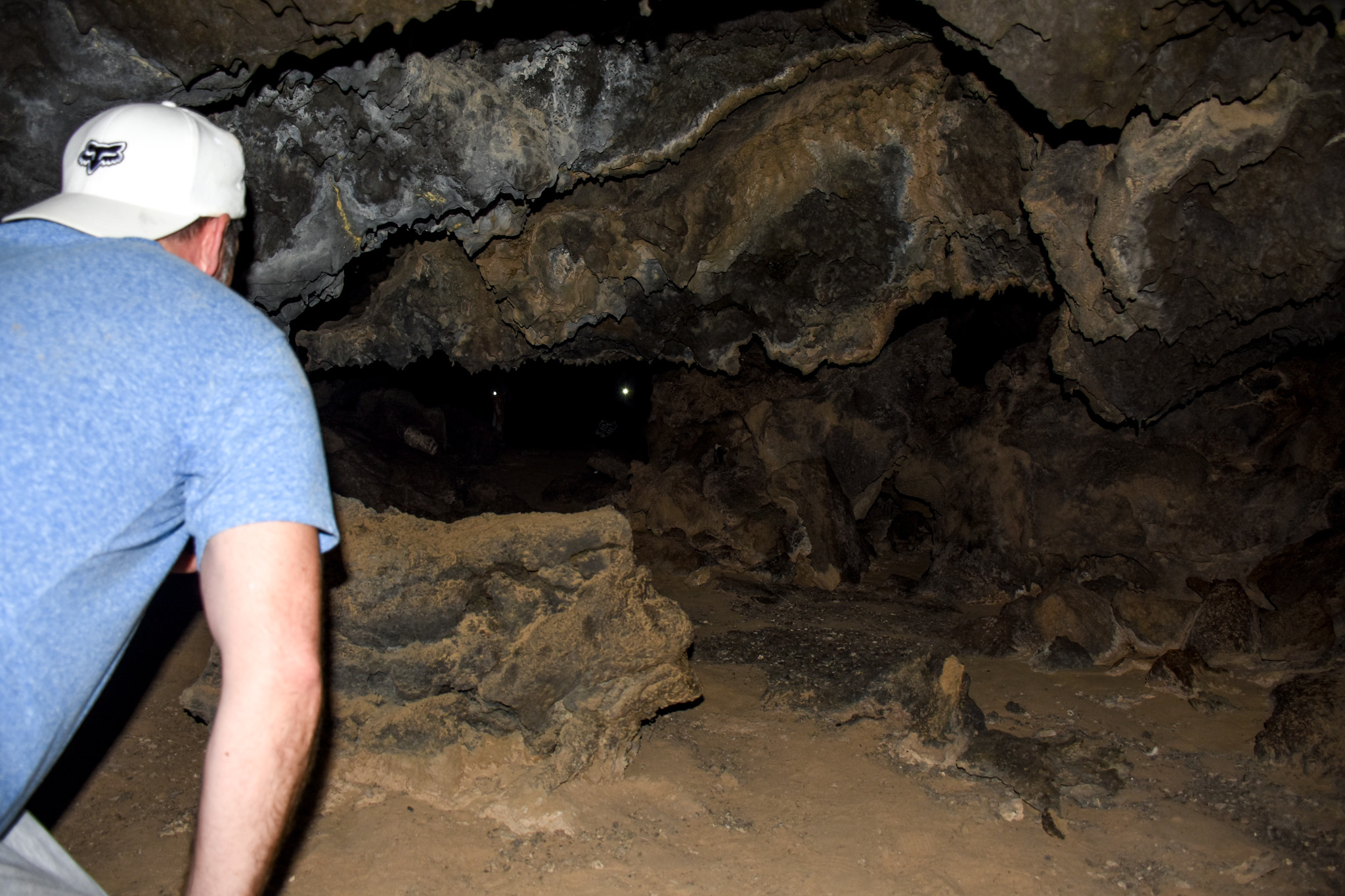
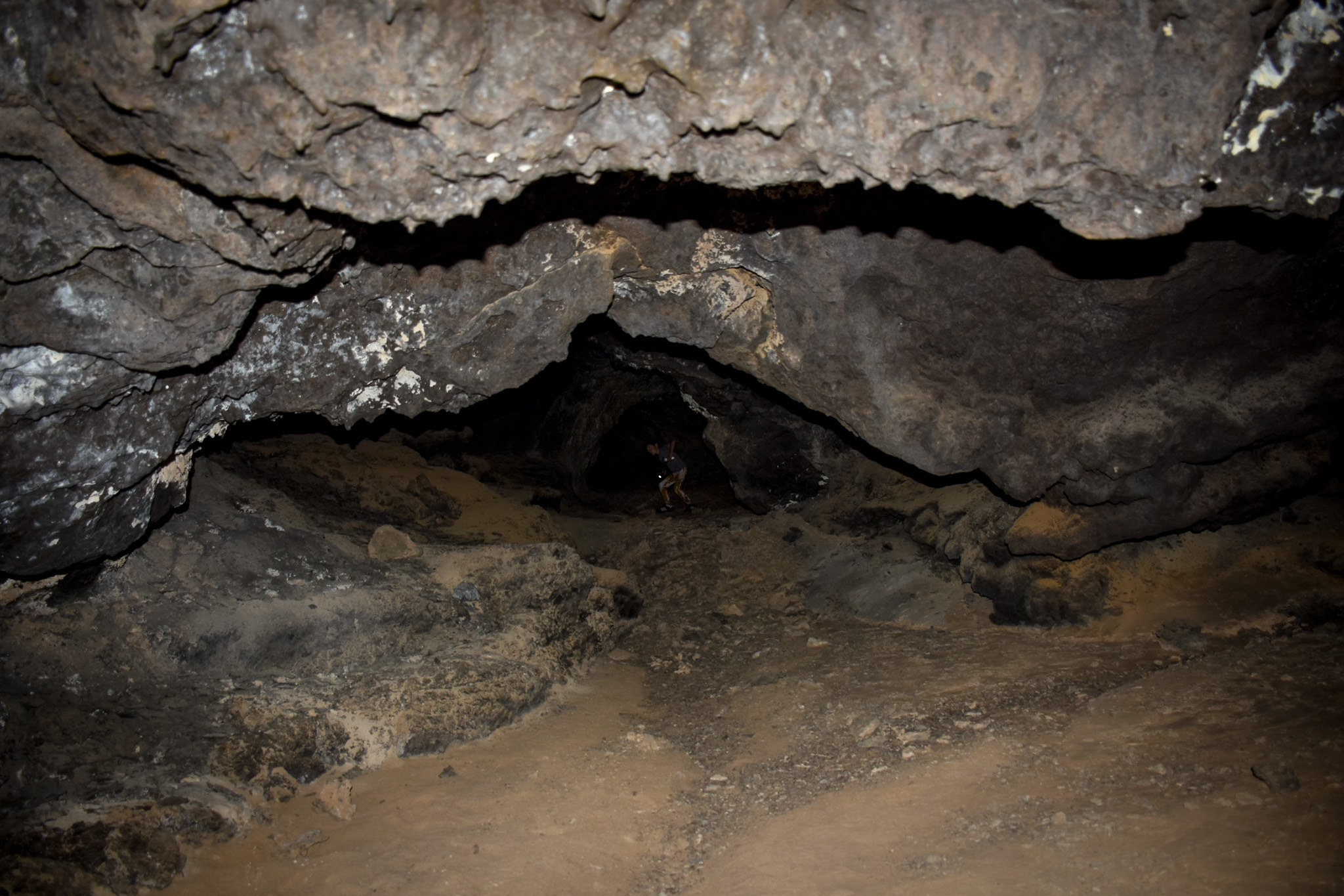
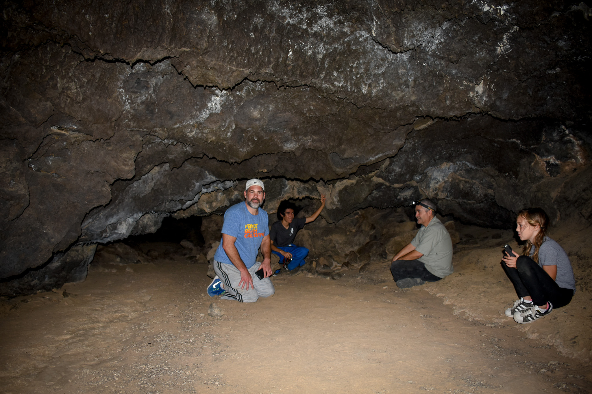
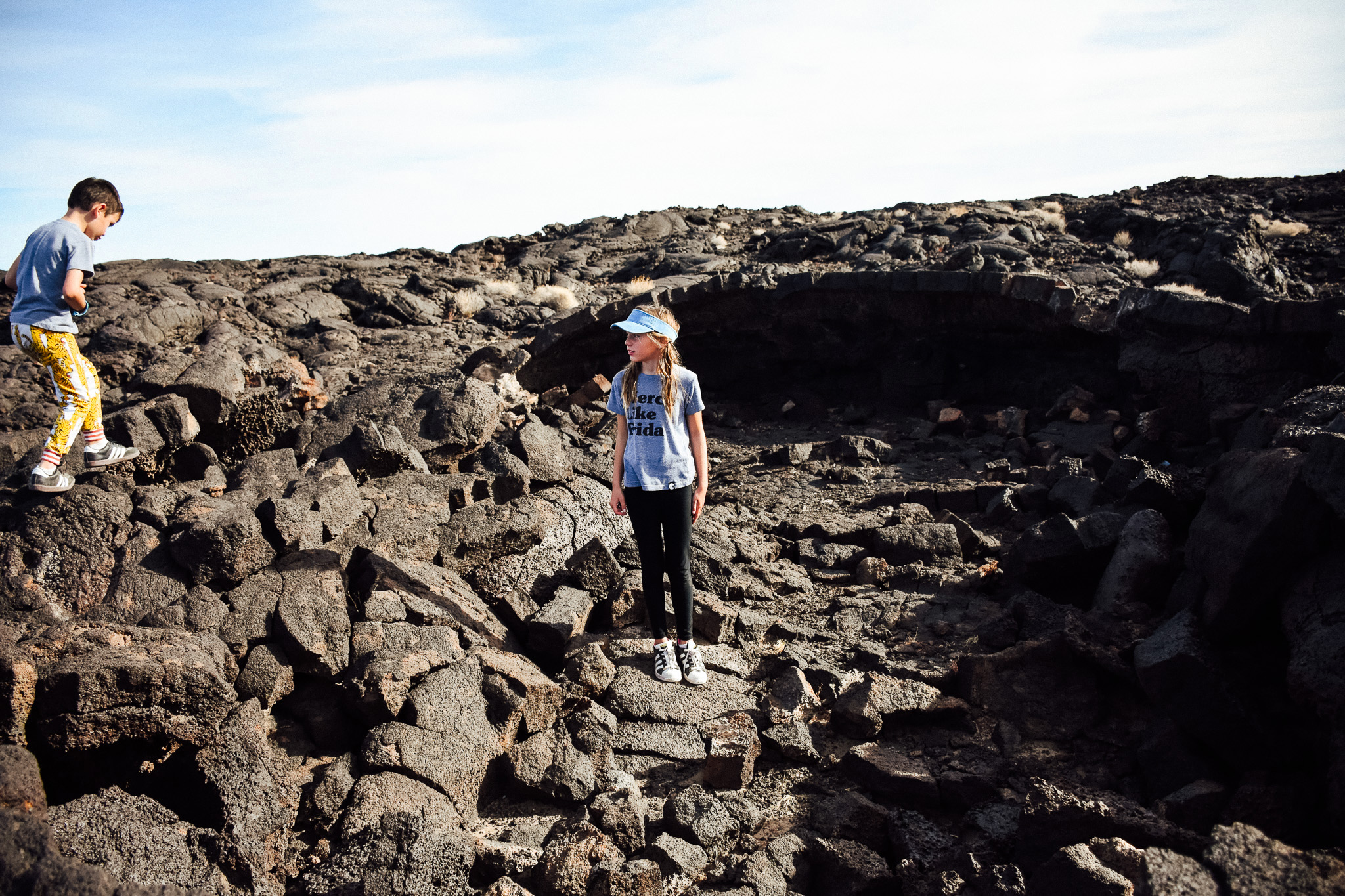
So, our visit was fantastic thanks to a father/son team of experts who so kindly offered to show us around! It was such a blessing and really made our day. We were a little (or a lot) underprepared . I think we expected to show up and walk into a little cave and then leave. But there are hundreds of caves! And it’s breathtaking! Most are hard to find and extend for miles. They had the GPS mapped out for the best ones and took us to each. They are the ones responsible for many of the images (including 360-degree images) that you see on Google Maps!
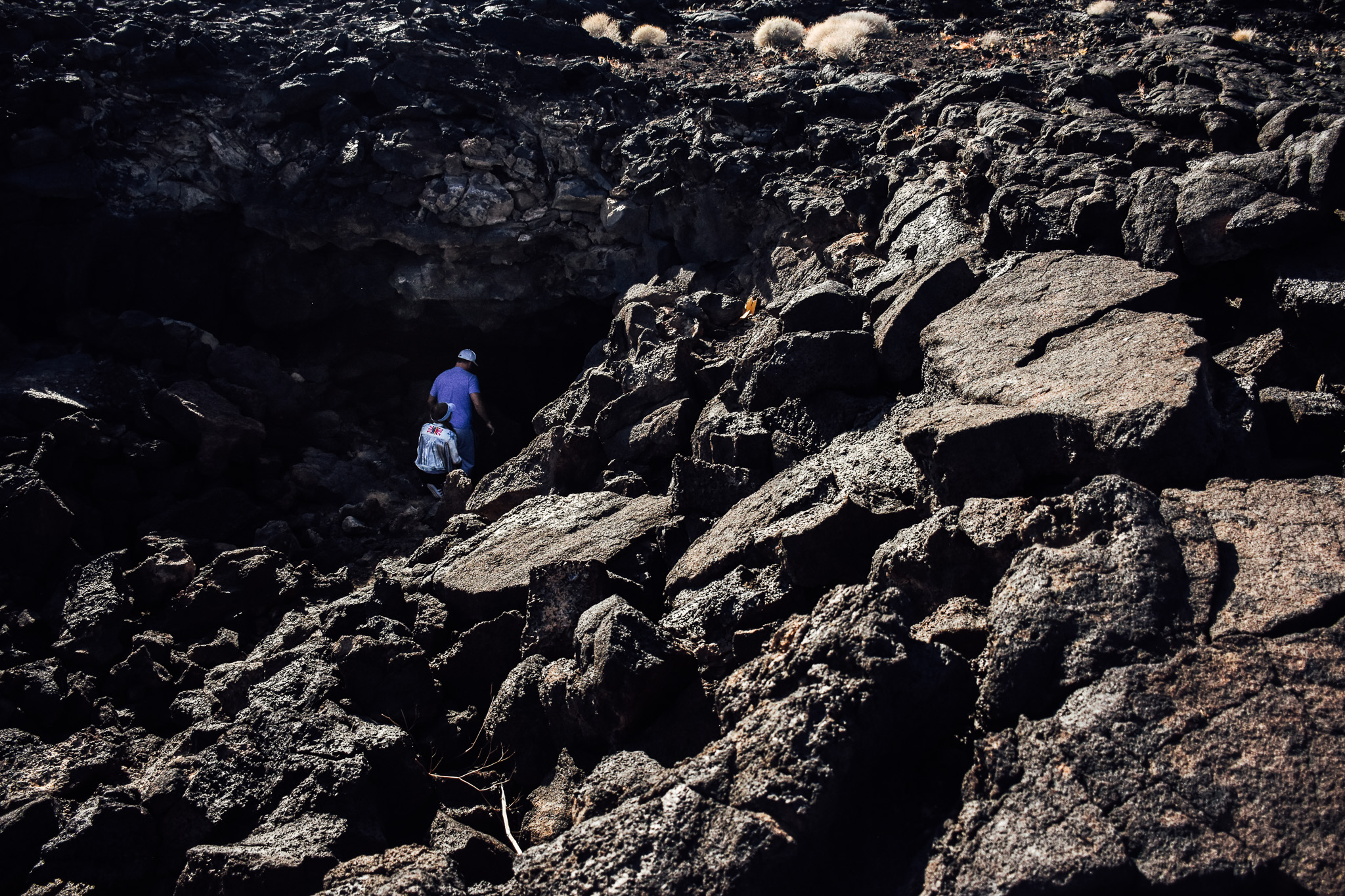
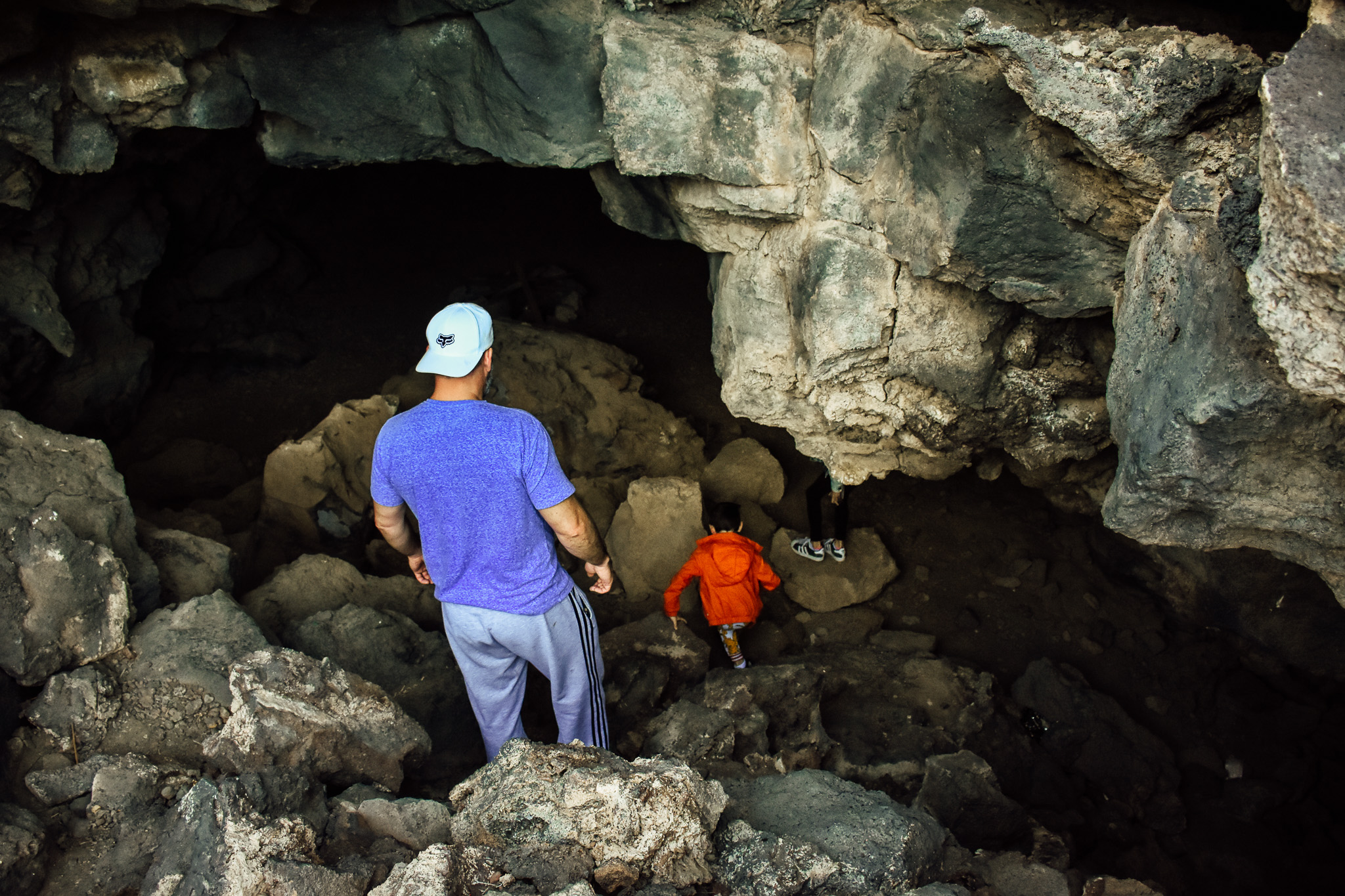
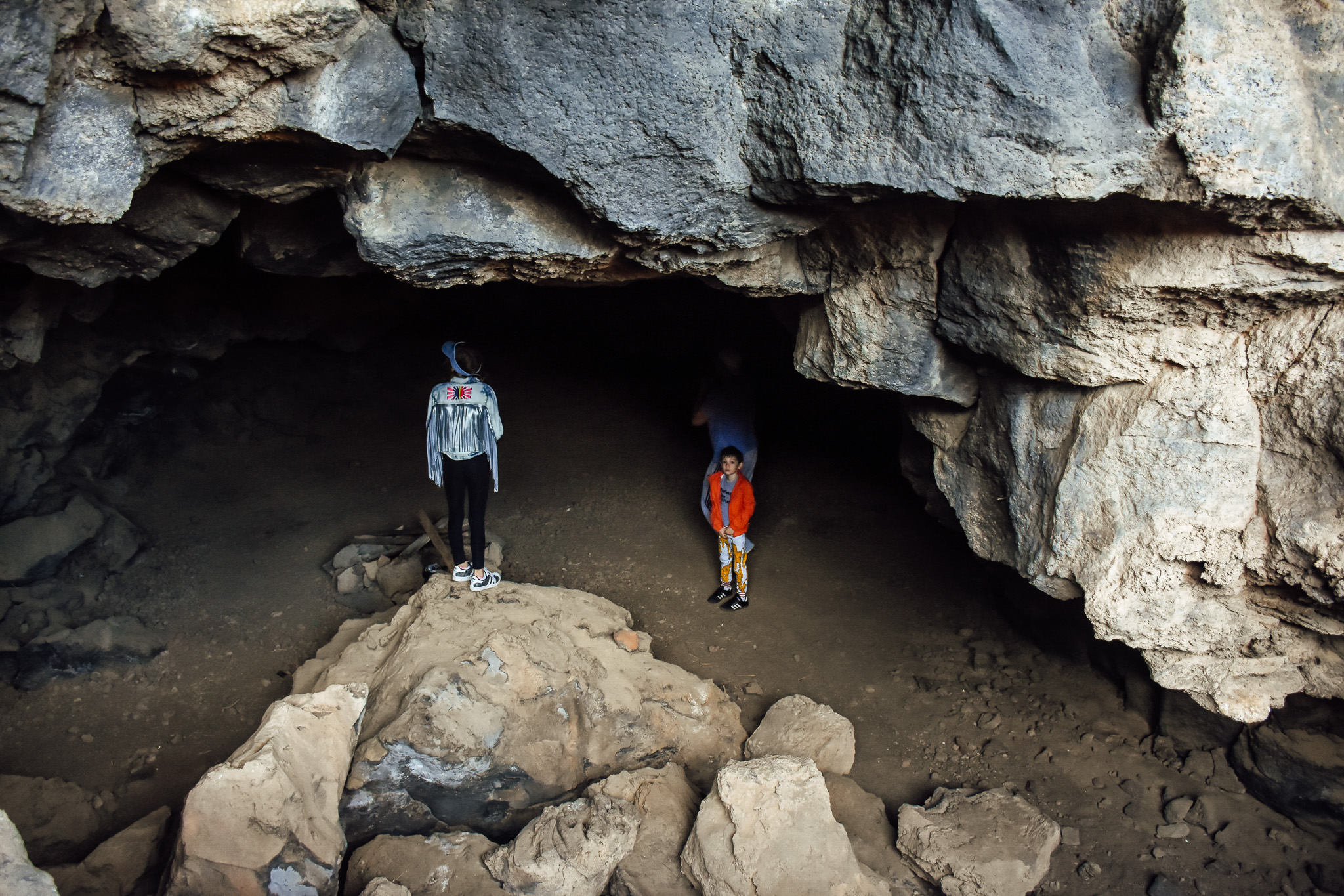
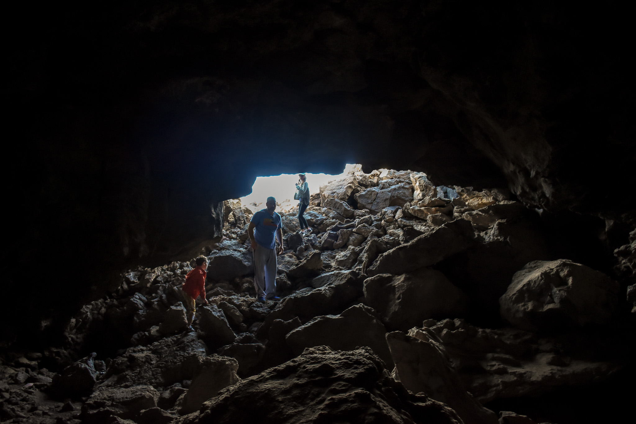
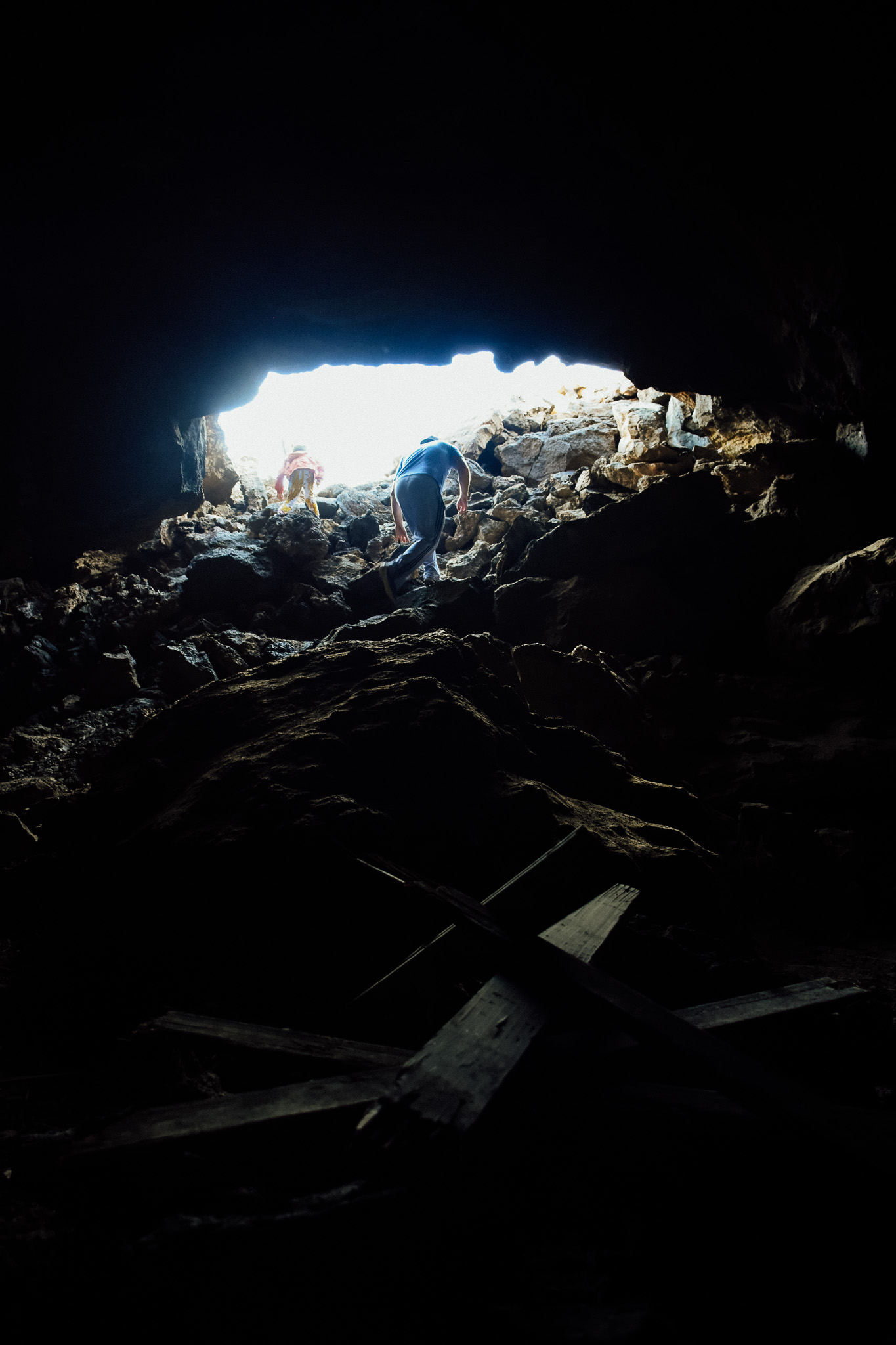
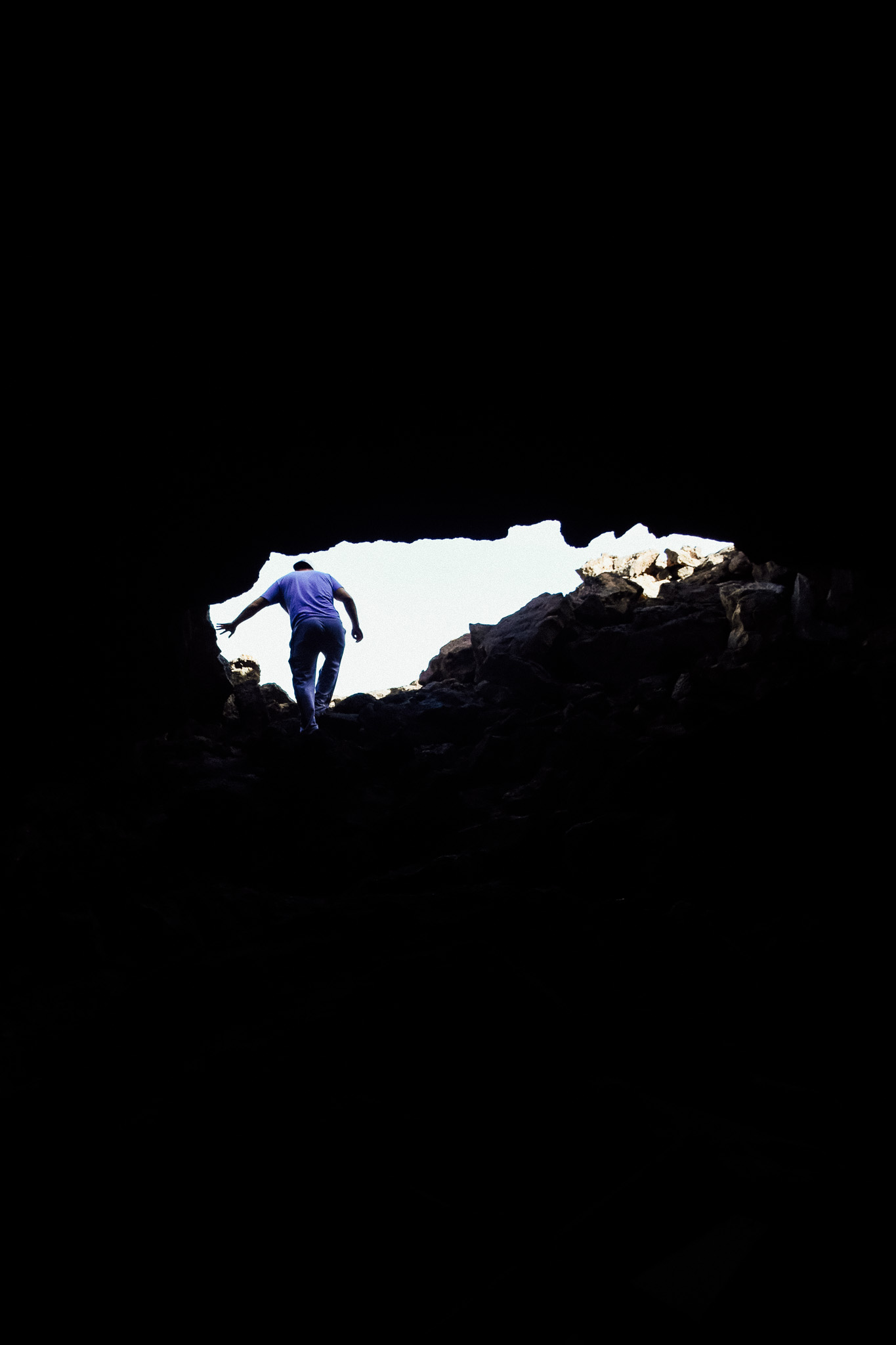
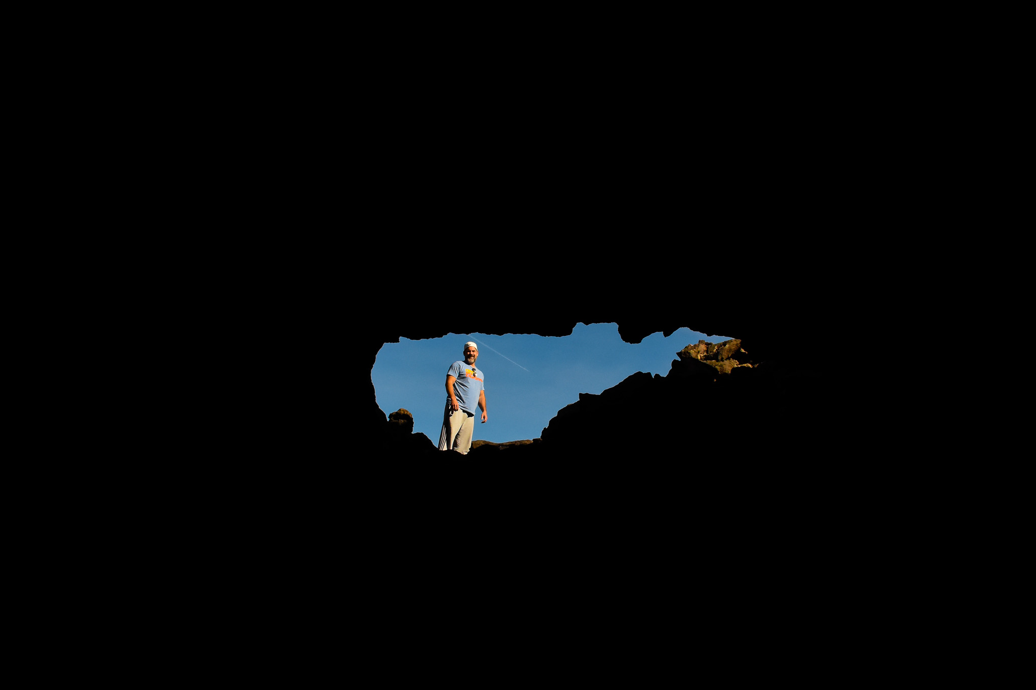
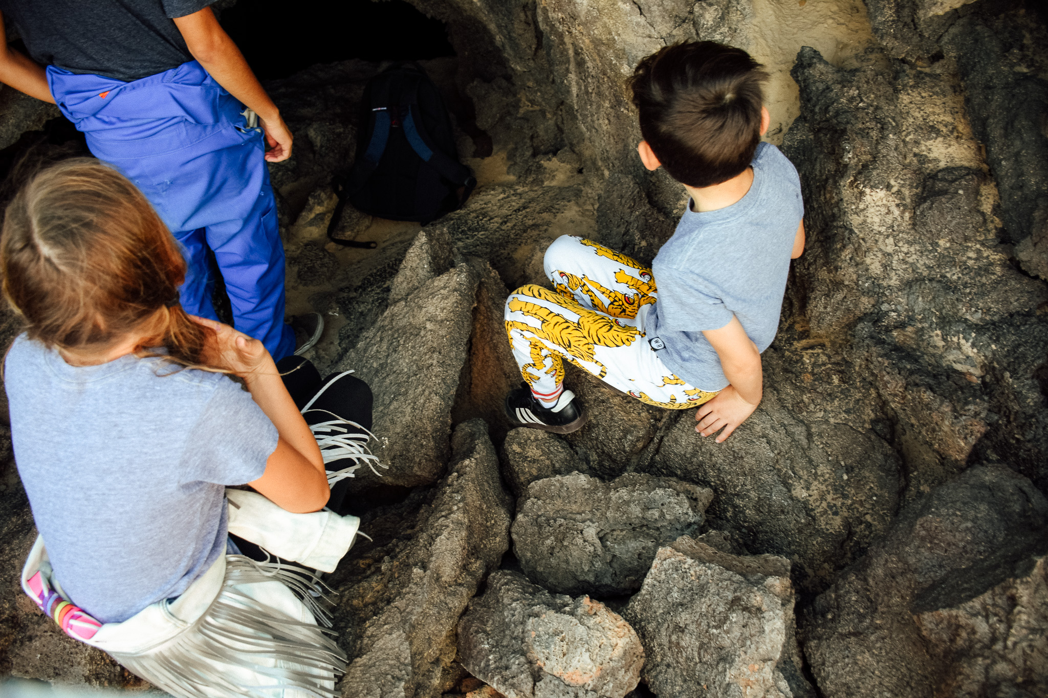
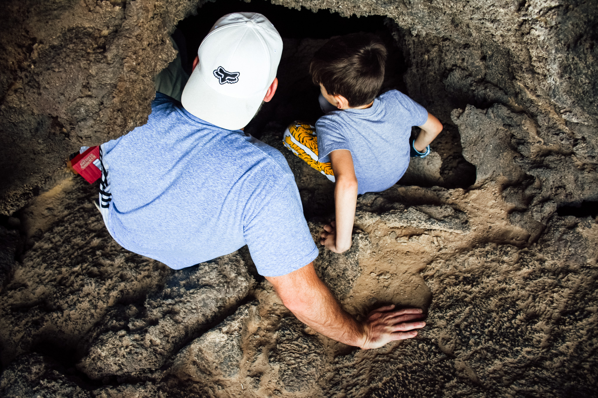
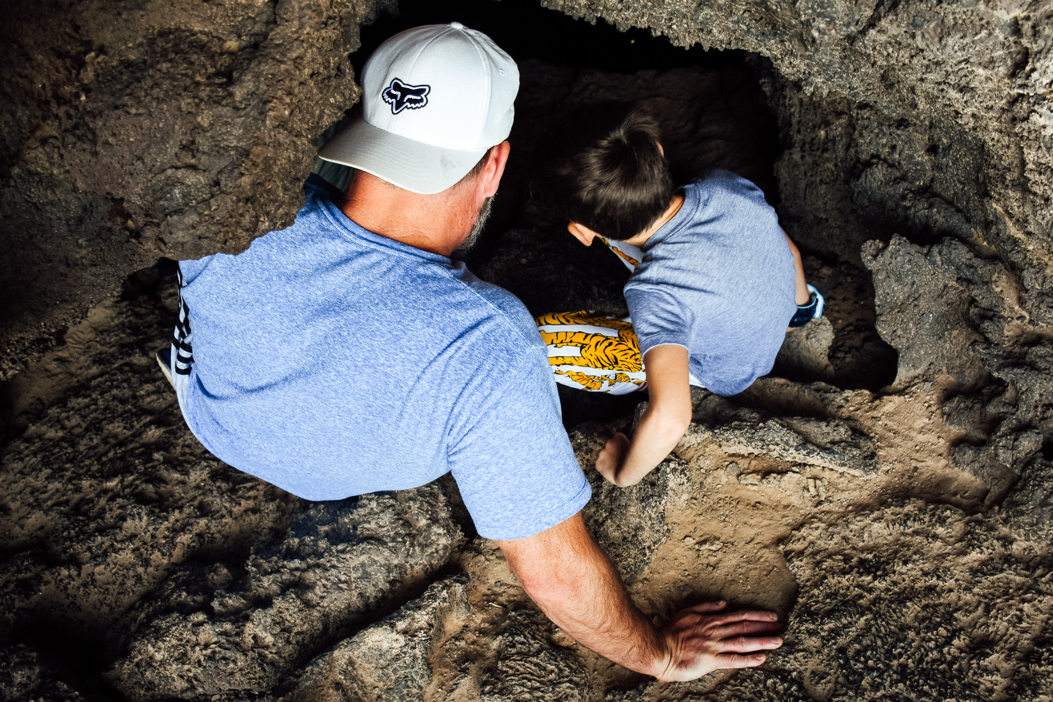
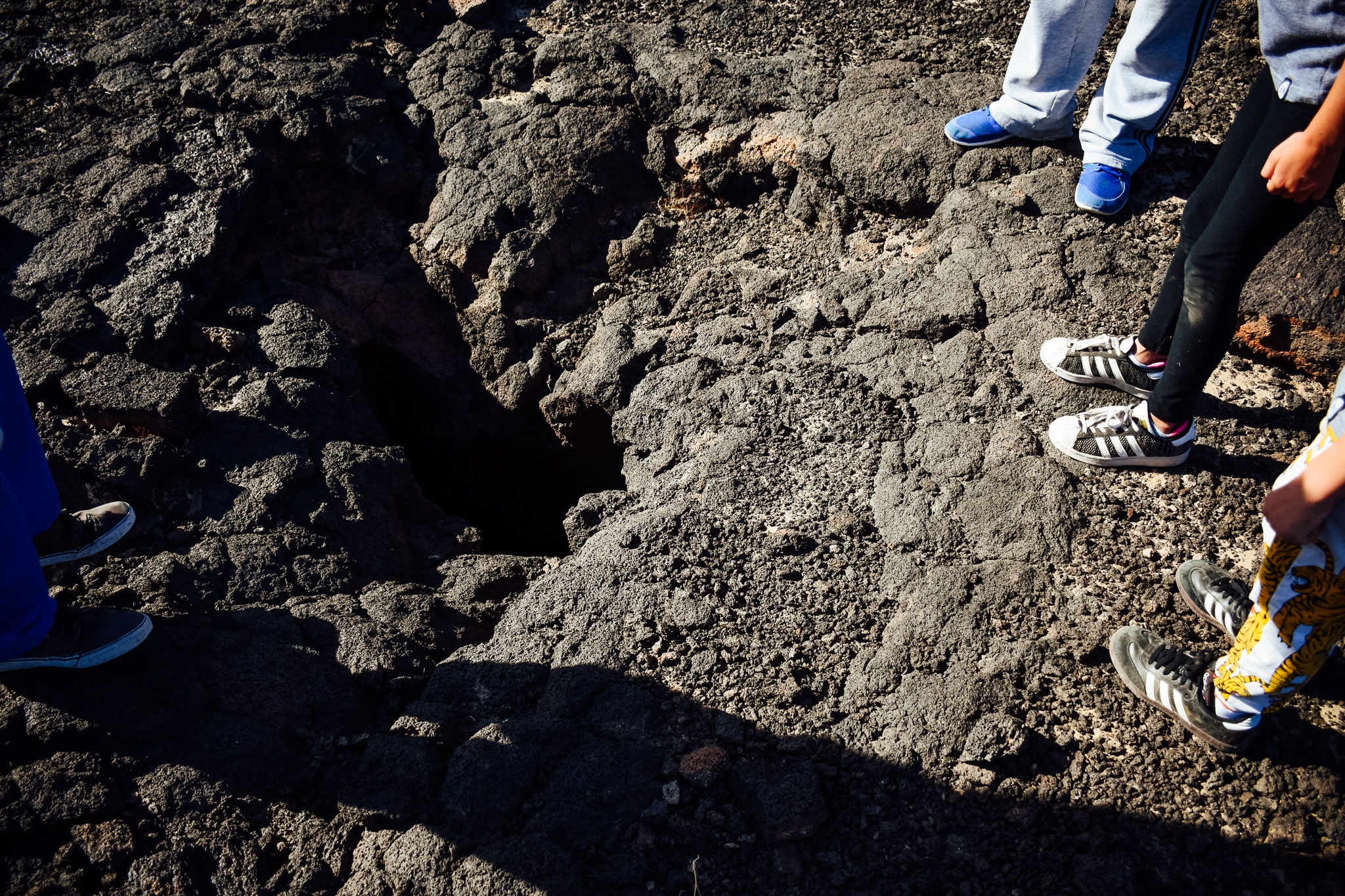
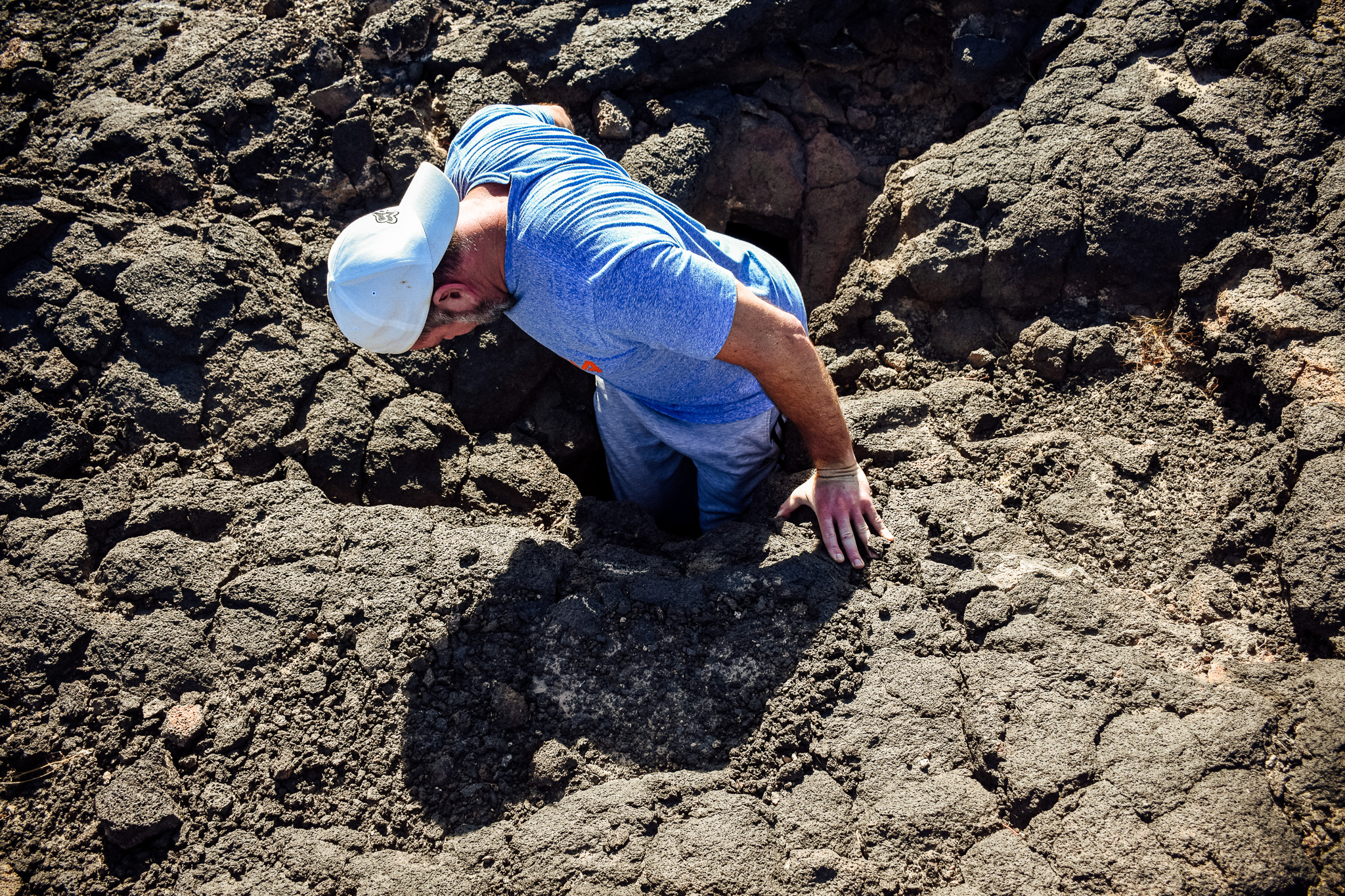
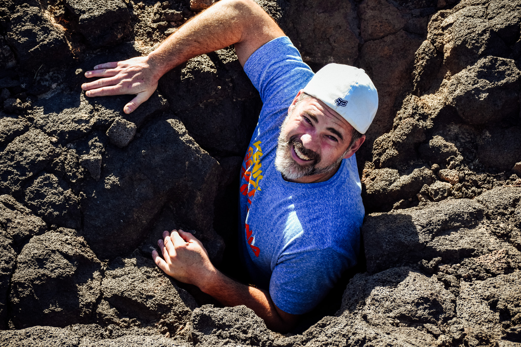
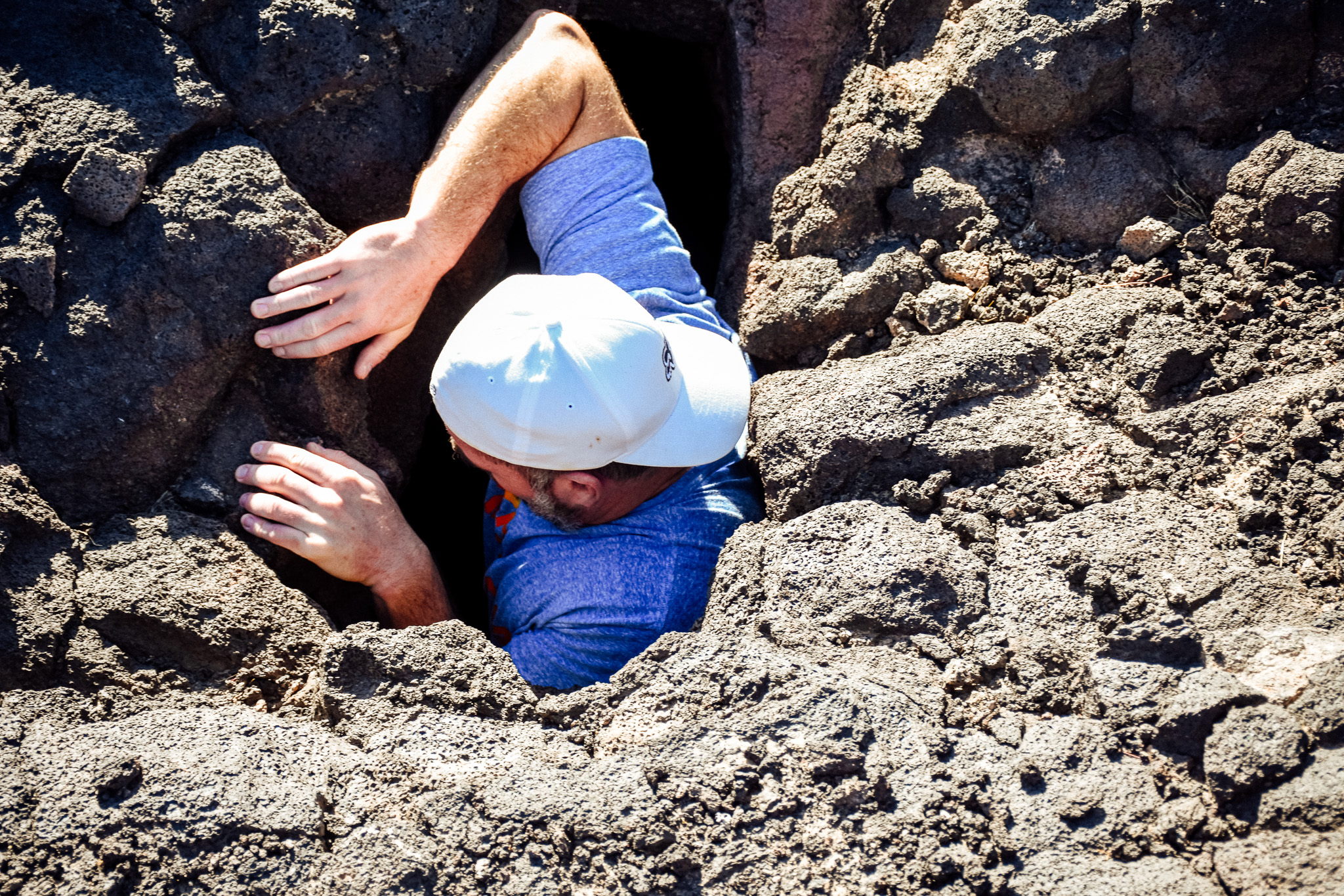
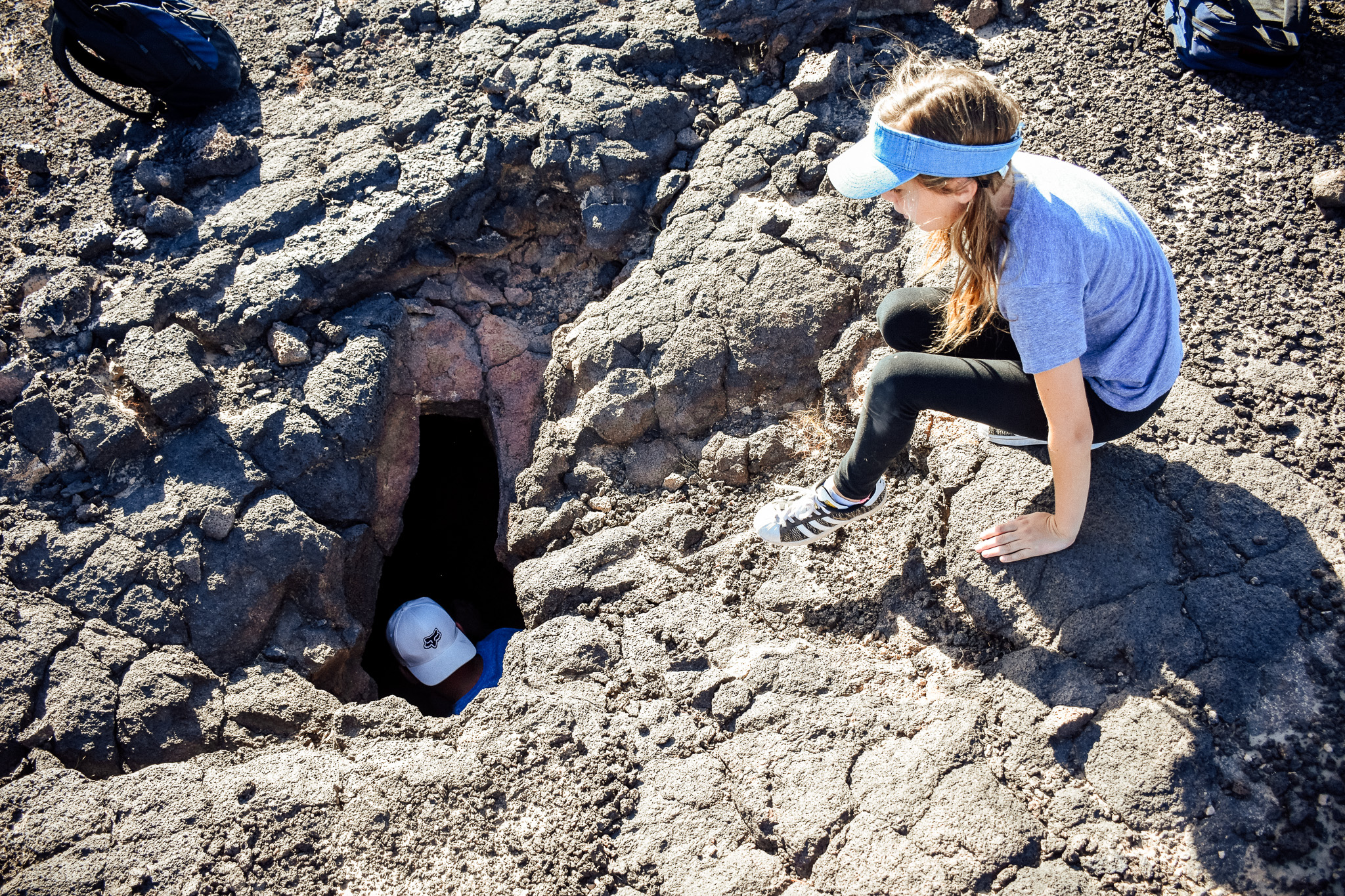
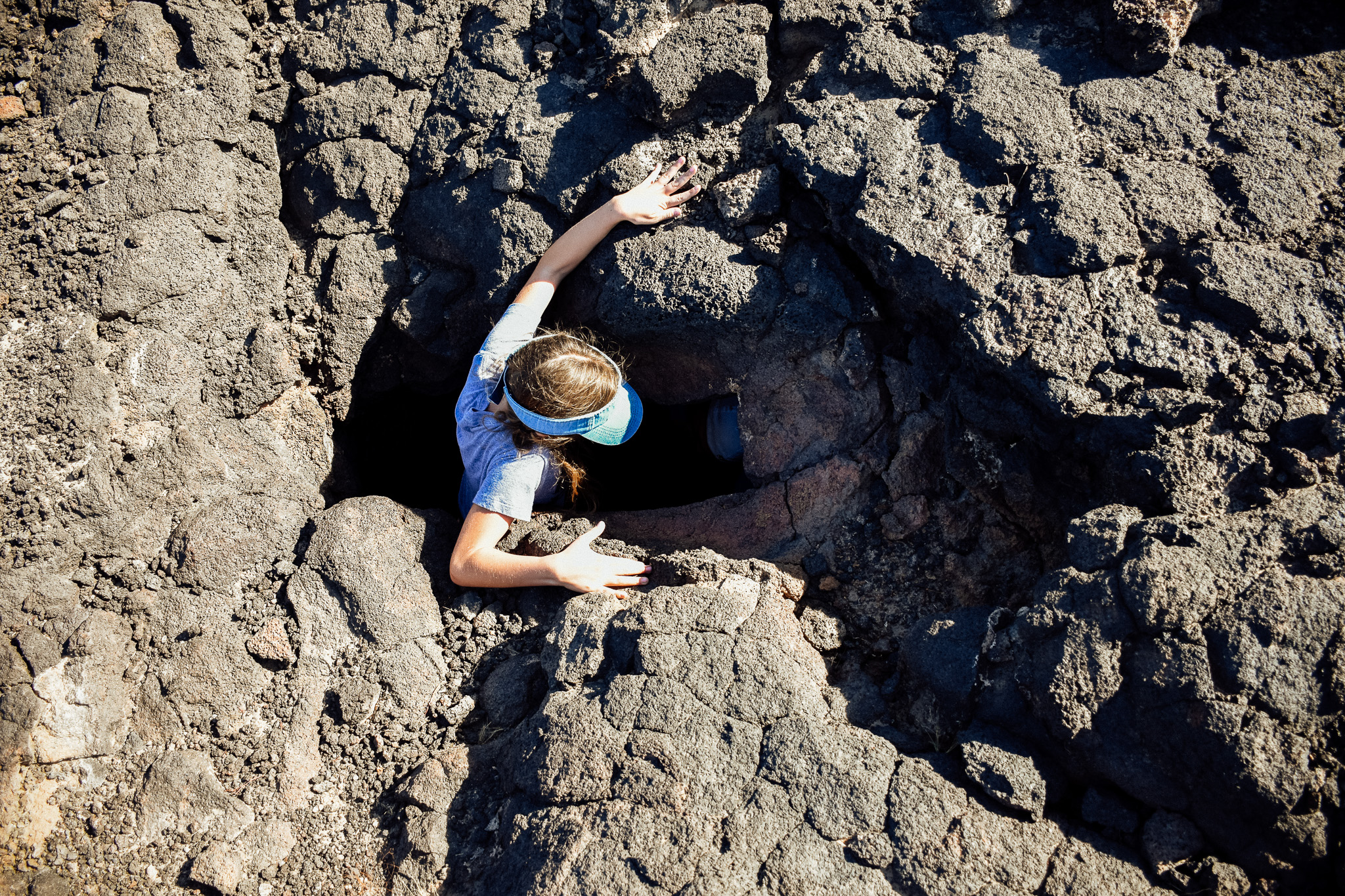
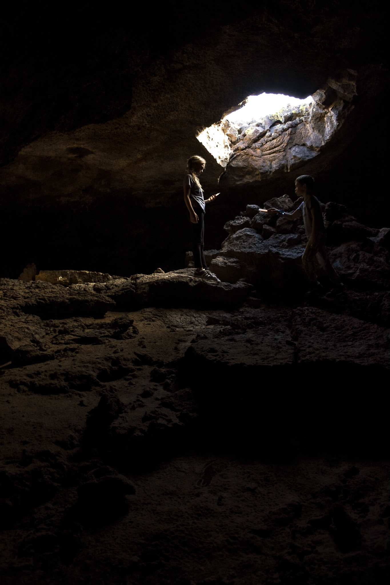
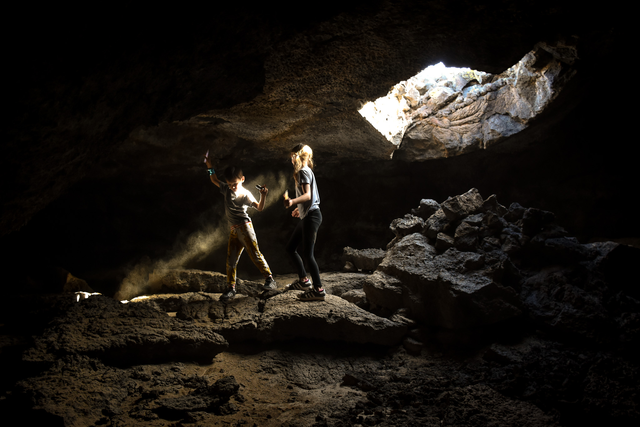
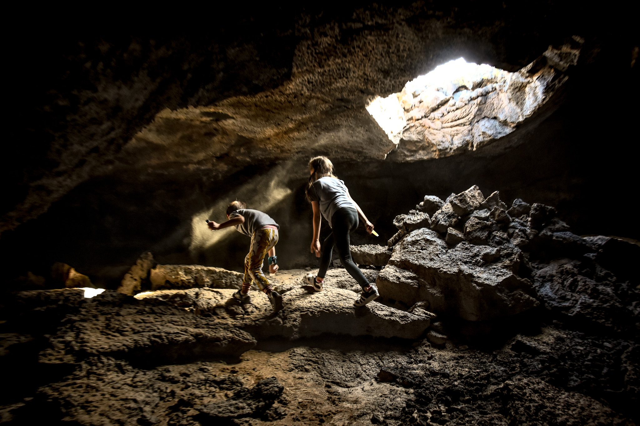
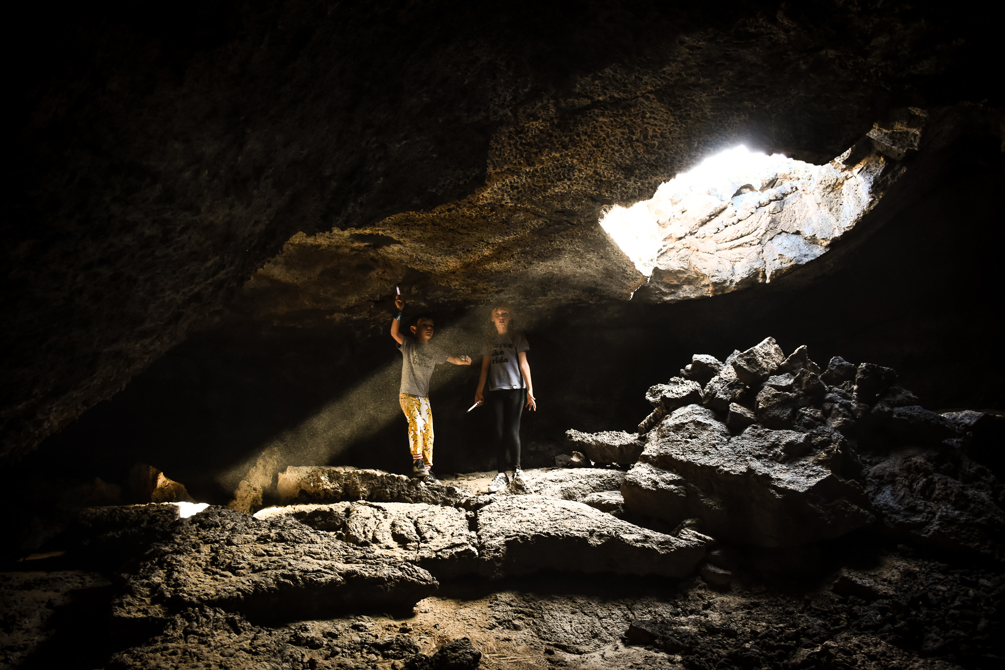
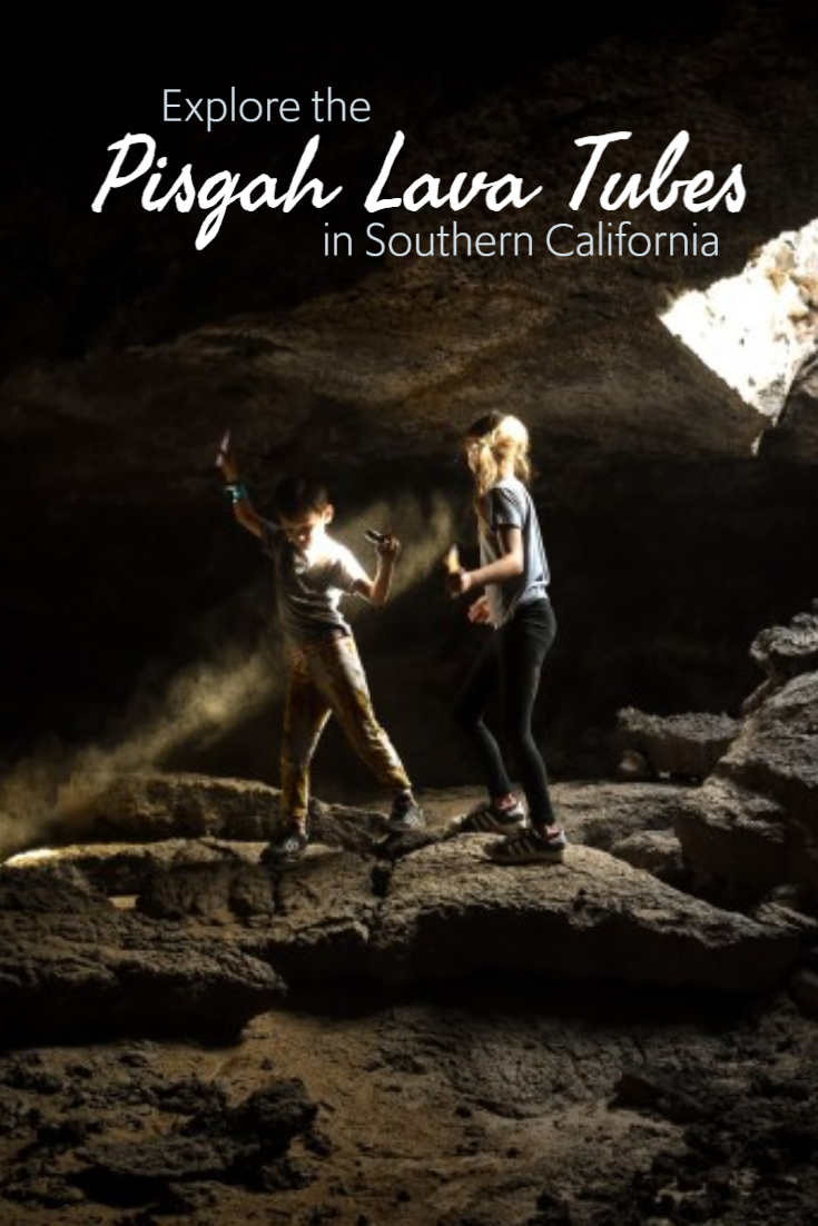
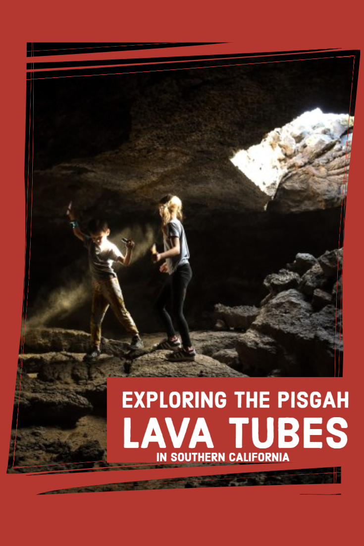
The trick once you get there is finding the good caves. One of the most popular is SPJ Cave. That is the one you see the kids standing under the light in below. That large hole isn’t really an entrance but there is a tiny hole (that you see Matt squeezing into) nearby that you can enter and exit through. The caves are marked with little silver tags but the best way to find them is GPS. This one was a 20-minute walk from the car. Andrew (the man we met) adds GPS in his photos if you can find them online. For example, click on this photo from Wiki and you can see the coordinates of that cave. But he had worked so hard and put together this amazing map showing the coordinates! The ones we entered were SPG, Chair and Table, Glove Cave (popular, has the logbook at the very end) and a couple of small ones before we met them that I don’t know the name of. We again feel beyond fortunate to have encountered them and their generosity of knowledge. We promise to pay it forward!
Some Tips That We Learned The Hard Way
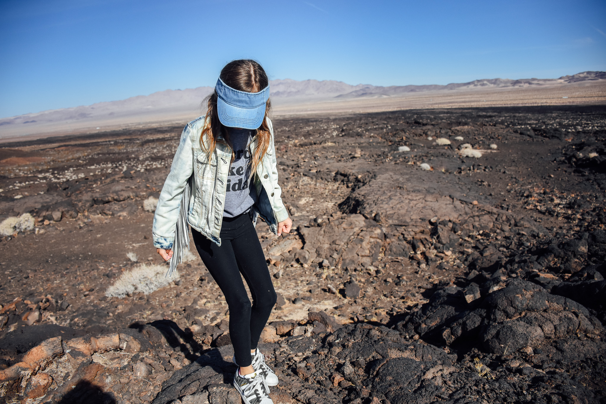
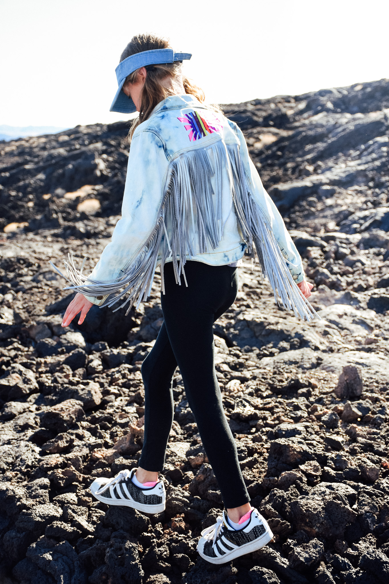
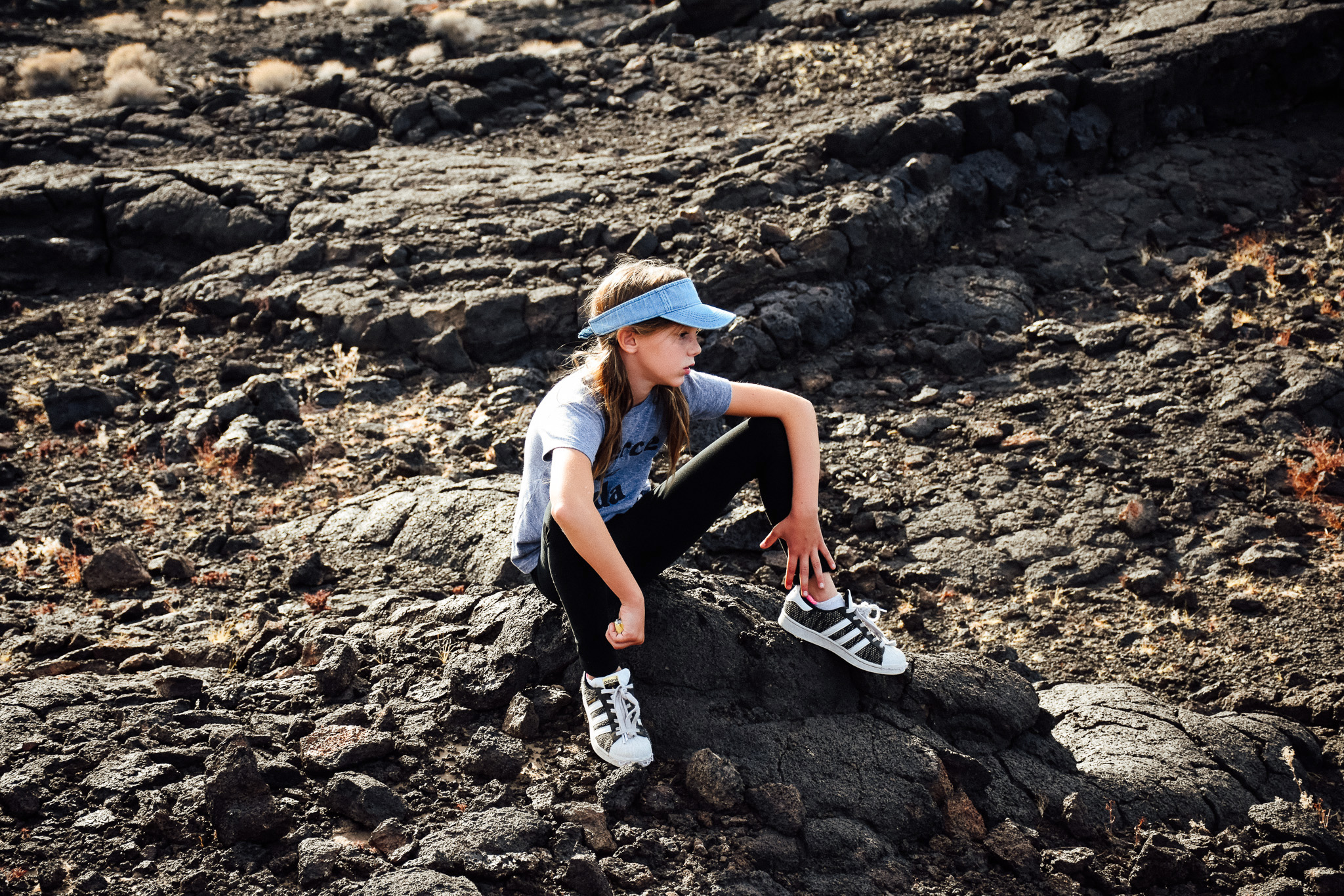
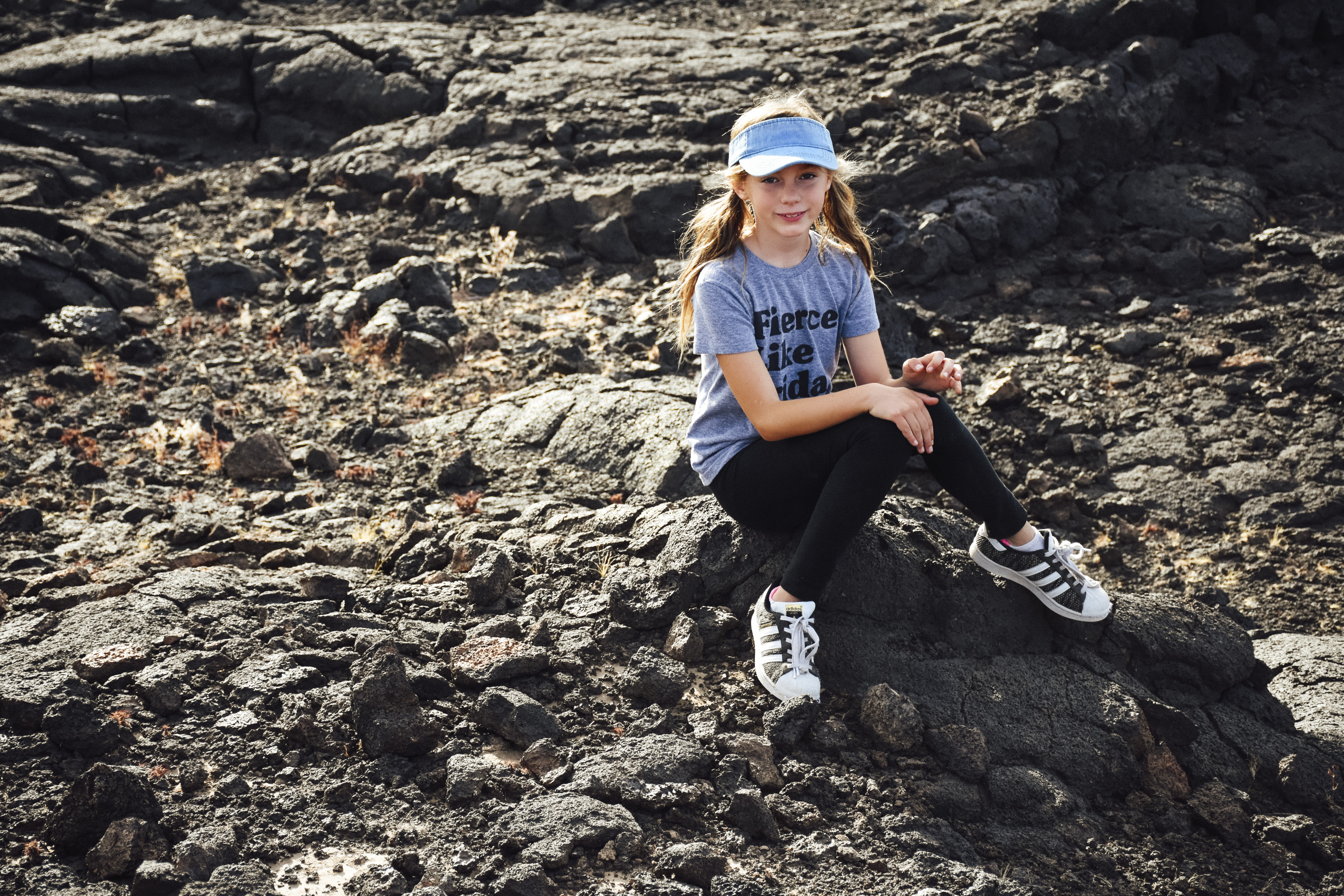
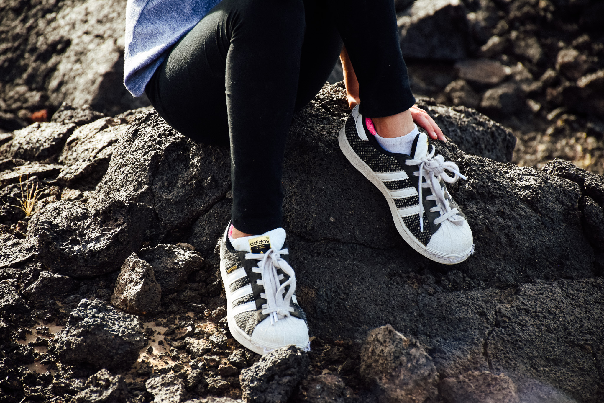
- Wear jeans! This rock is pumice like and will shred your leggings or skin while sliding and climbing through out the Lava Tubes.
- Bring GPS. Whether a handheld device or app.
- Bring flashlights and headlamps are even better. It is pitch black in there.
- Hardhats aren’t a bad idea.
- Kneepads aren’t either.
- Bring lots of water. You will be walking and climbing for an hour and then realize your water is in your car and that car is way off in the distance.
- Visit in cooler months. That black rock gets warm. We went on a 70-degree day in January and were sweating a bit! It gets warm in the caves and I can’t imagine that place in the heat of the summer desert!
- Don’t bring small children. Jake and Abby did great but I can’t imagine it being good for children 5 and under. There are holes you can fall into and it’s a lot of walking.
- Sunscreen!
- And a few band-aids just in case. Because… kids.
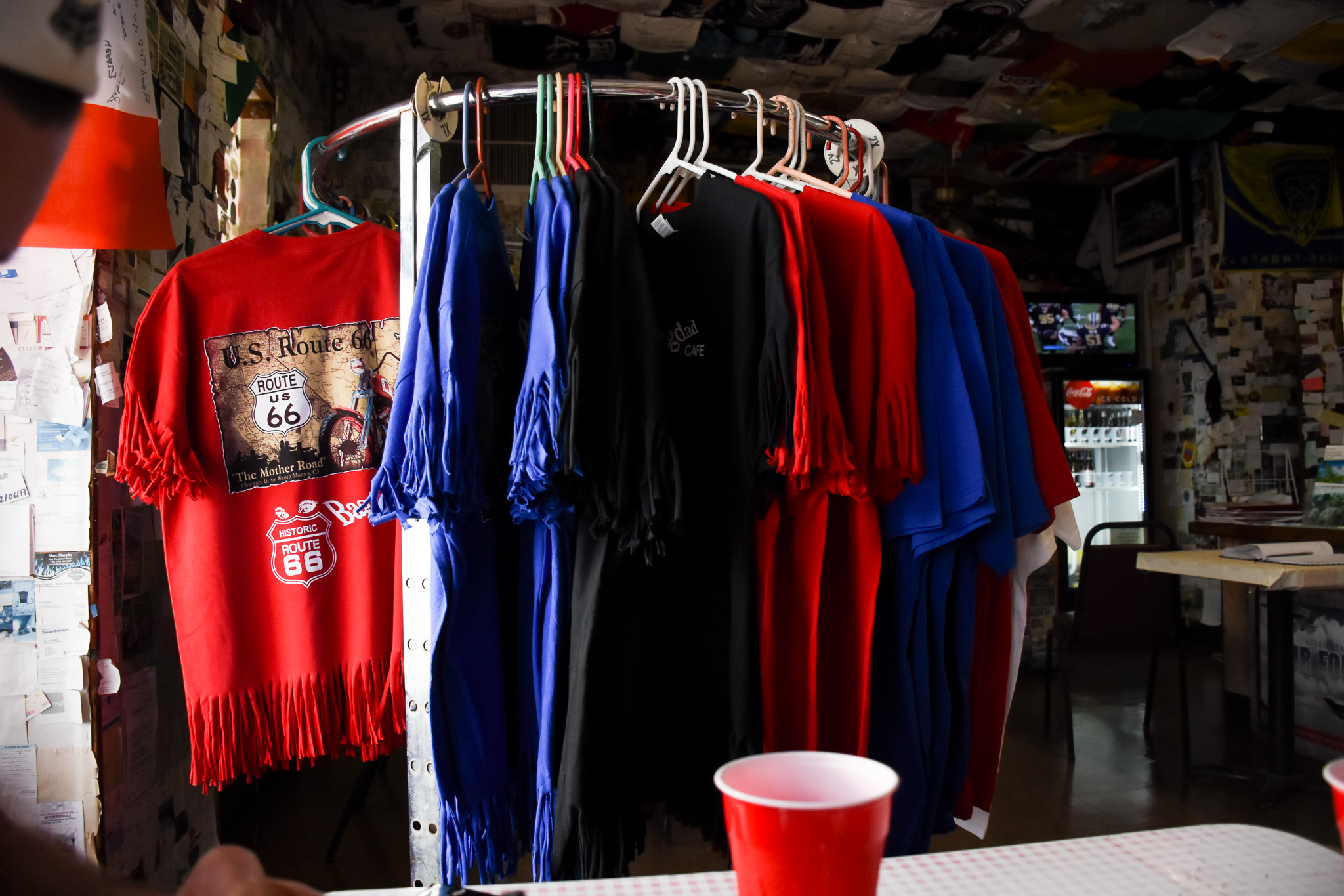
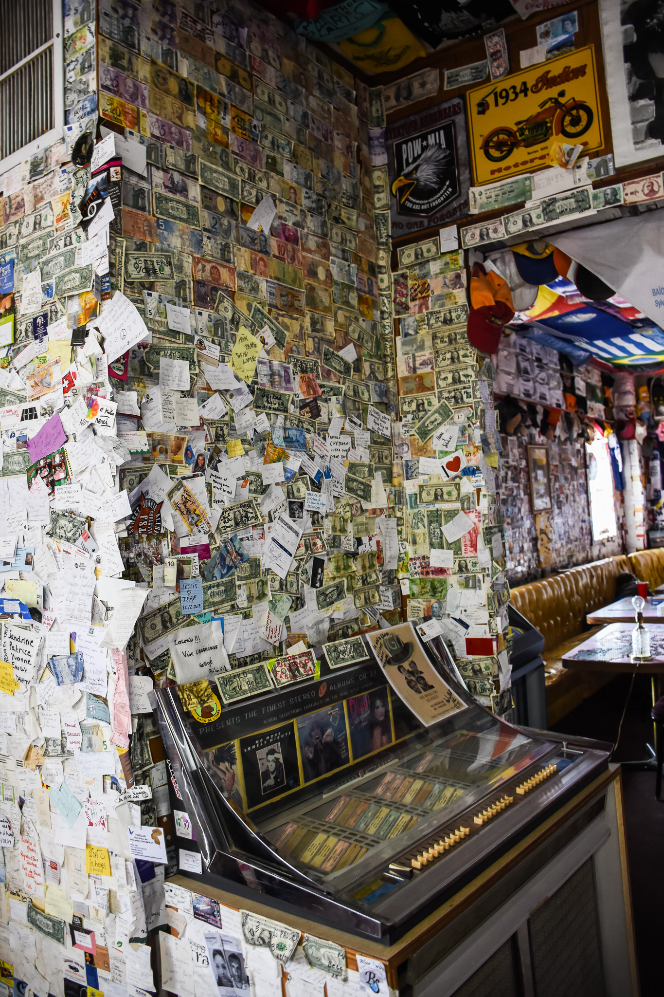
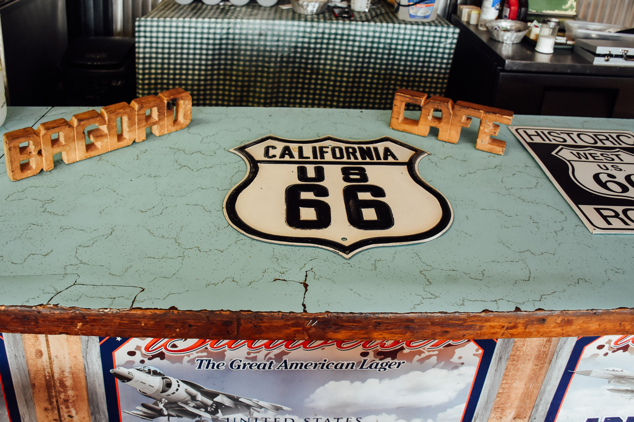
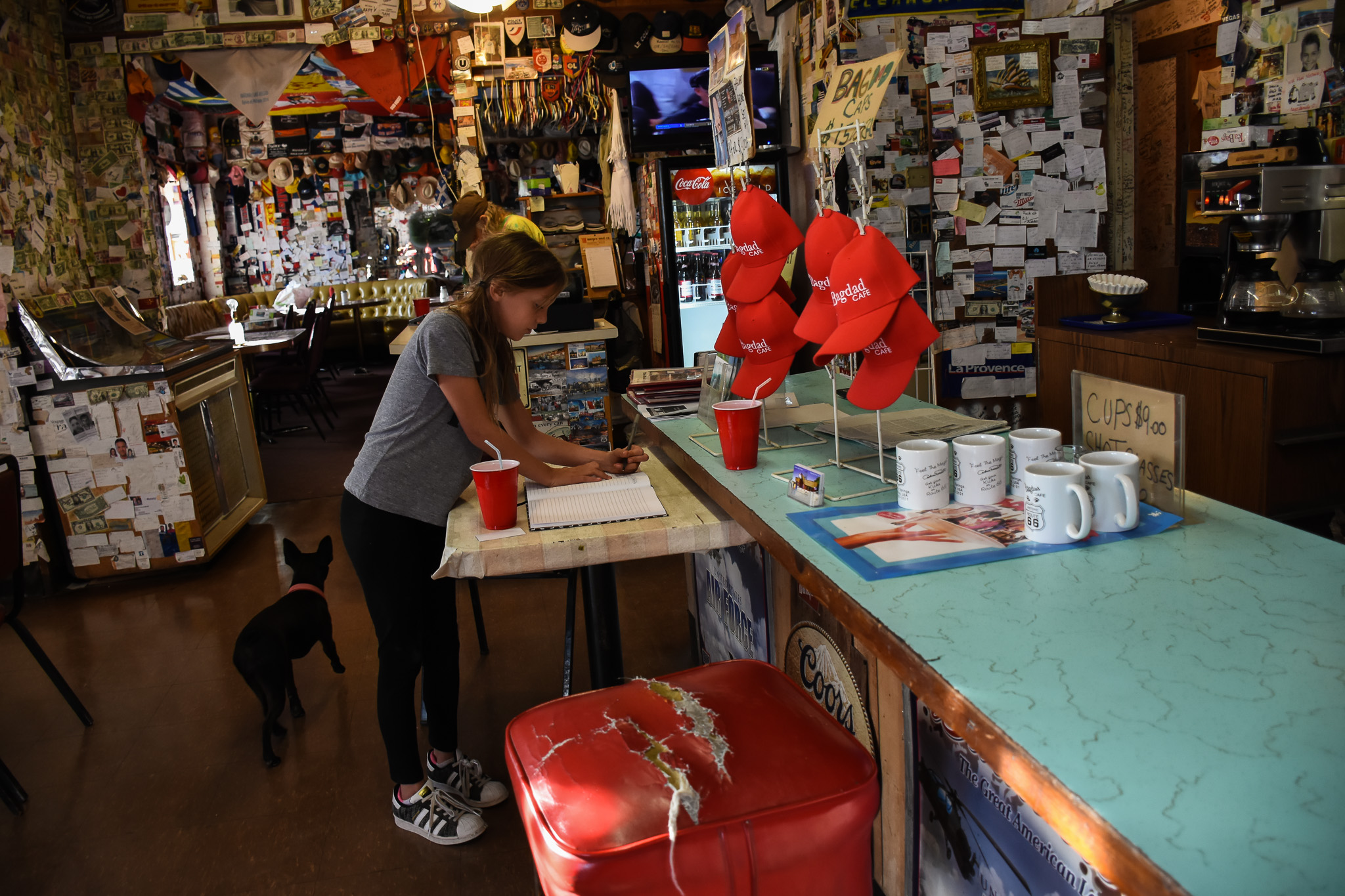
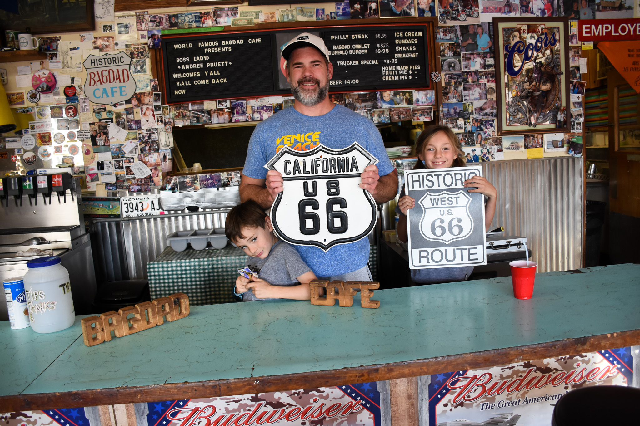
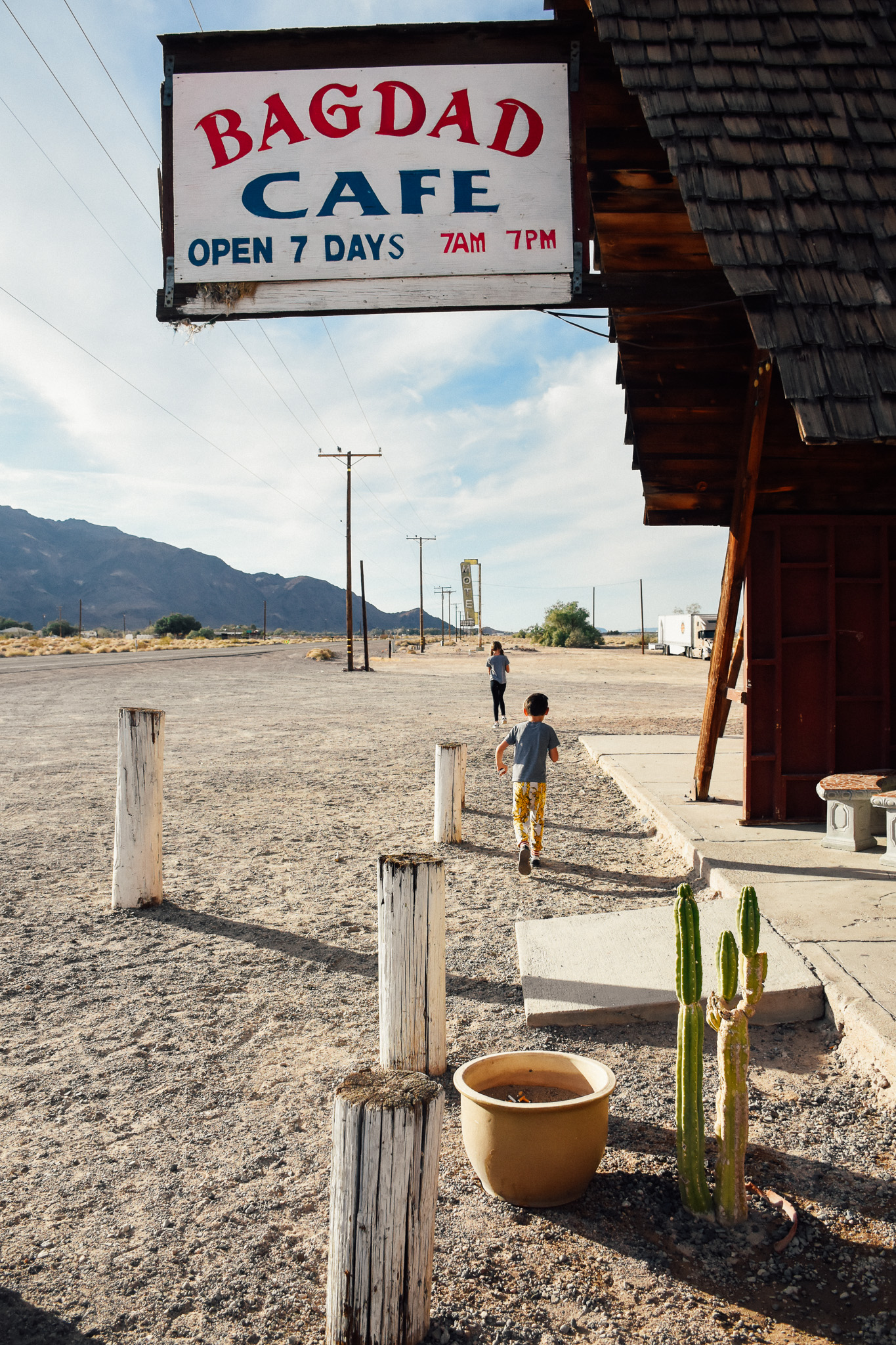
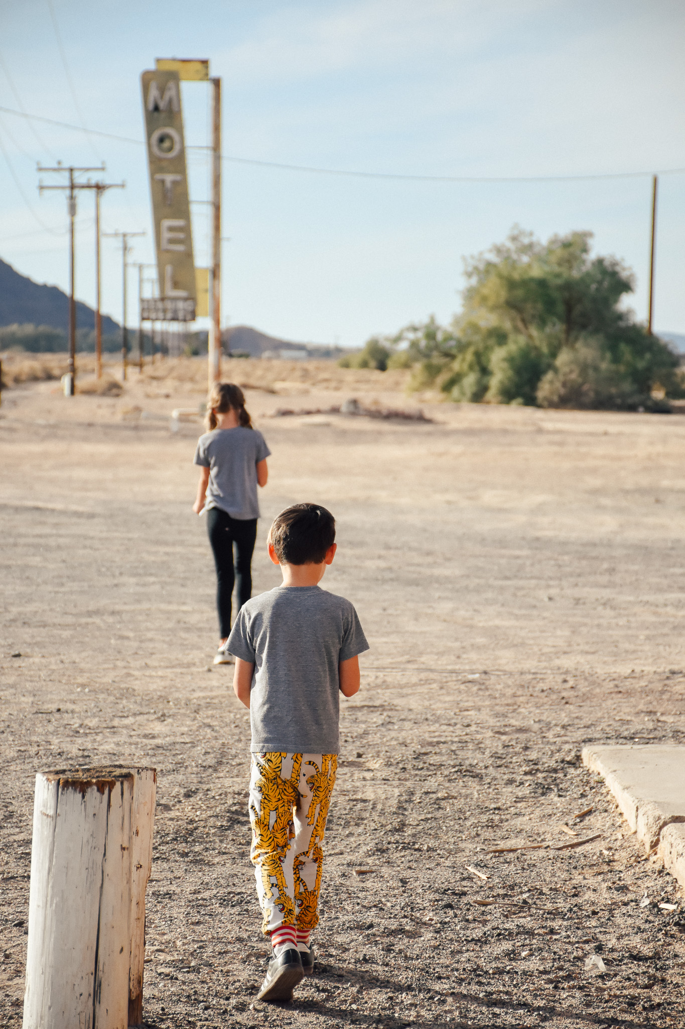
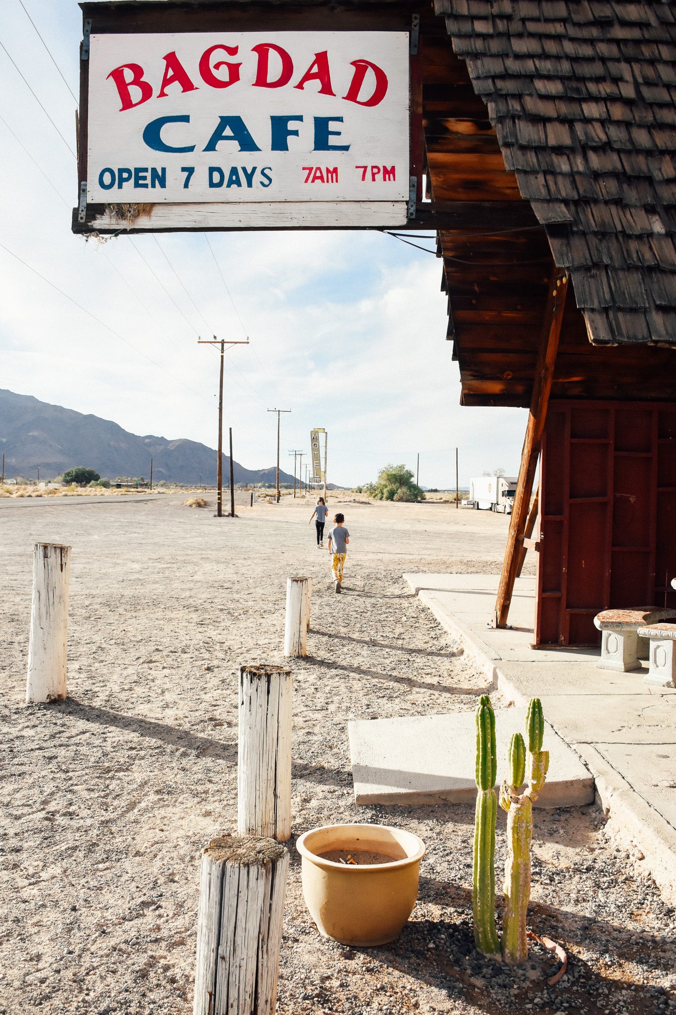
We concluded our visit with a stop at the world famous Bagdad Cafe about 20 minutes away in Newberry Springs. More about that here.
Here is a photo recap of our day!
